Area Overview for WA7 2LL
Photos of WA7 2LL
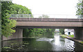
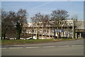
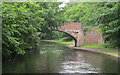
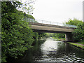
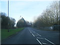
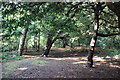
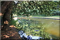
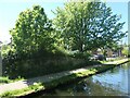

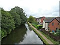
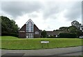
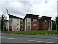
18 photos from this area
Area Information
Key information about the WA7 2LL including its size, population, and administrative classification.
- Area Type
- Postcode
- Area Size
- 2.3 hectares
- Population
- 1574
- Population Density
- 3608 people/km²
House Prices in WA7 2LL
59
Properties
£74,921
Average Sold Price
£33,000
Lowest Price
£130,000
Highest Price
Showing 59 properties
| Address | Type | Beds | Baths | Last Sale Price | Last Sale Date | |
|---|---|---|---|---|---|---|
| 3 Primrose Close, Runcorn, WA7 2LL | house | - | - | £72,000 | Mar 2025 | |
| 31 Primrose Close, Runcorn, WA7 2LL | Bungalow | 3 | - | £130,000 | Dec 2022 | |
| 43 Primrose Close, Runcorn, WA7 2LL | Bungalow | - | - | £125,000 | Aug 2022 | |
| 42 Primrose Close, Runcorn, WA7 2LL | Semi-detached | 3 | 1 | £90,000 | Nov 2020 | |
| 29 Primrose Close, Runcorn, WA7 2LL | Bungalow | - | - | £100,000 | Jul 2019 | |
| 16 Primrose Close, Runcorn, WA7 2LL | house | - | - | £68,500 | Sep 2018 | |
| 19 Primrose Close, Runcorn, WA7 2LL | house | - | - | £64,000 | May 2018 | |
| 25 Primrose Close, Runcorn, WA7 2LL | Bungalow | 3 | - | £89,950 | Jan 2017 | |
| 33 Primrose Close, Runcorn, WA7 2LL | Terraced | - | - | £88,000 | Jul 2007 | |
| 20 Primrose Close, Runcorn, WA7 2LL | house | - | - | £63,000 | Aug 2005 |
Page 1 of 6
Energy Efficiency in WA7 2LL
Amenities
Schools
| Rank | School | Type | Entry gender | Ages |
|---|
Explore more schools in this area
Go to Schools tabDemographics
Household Size
One person
most common
Accommodation Type
Houses
most common
Tenure
59
majority
Ethnic Group
White
most common
Religion
N/A
most common
Household Composition
N/A
most common
Age
47
median
Adults (30-64 years)
most common
Household Deprivation
N/A
with no deprivation
NS-SEC
25
in Lower managerial occupations
Explore more demographic insights in this area
Go to Demographics tabPlanning
Planning Constraints
- Flood RiskPremium
- Ramsar Wetland SitesPremium
- Area of Outstanding Natural BeautyPremium
- Protected Nature ReservePremium
- Protected WoodlandPremium