Area Overview for WA7 1LA
Photos of WA7 1LA

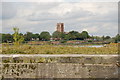
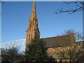
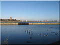
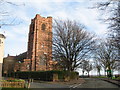
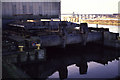
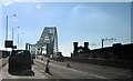
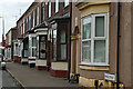
100 photos from this area
Area Information
Key information about the WA7 1LA including its size, population, and administrative classification.
- Area Type
- Postcode
- Area Size
- 2655 m²
- Population
- 2109
- Population Density
- 2691 people/km²
House Prices in WA7 1LA
21
Properties
£86,424
Average Sold Price
£57,000
Lowest Price
£125,000
Highest Price
Showing 21 properties
| Address | Type | Beds | Baths | Last Sale Price | Last Sale Date | |
|---|---|---|---|---|---|---|
| 111 Church Street, Runcorn, WA7 1LA | house | - | - | £60,000 | Feb 2024 | |
| 113 Church Street, Runcorn, WA7 1LA | Terraced | 2 | 1 | £100,000 | Nov 2022 | |
| 129 Church Street, Runcorn, WA7 1LA | Terraced | 3 | - | £125,000 | Jul 2021 | |
| 121 Church Street, Runcorn, WA7 1LA | Terraced | 2 | 1 | £110,000 | Aug 2020 | |
| 131 Church Street, Runcorn, WA7 1LA | house | 3 | - | £73,500 | Jun 2015 | |
| 125 Church Street, Runcorn, WA7 1LA | Terraced | 3 | - | £102,500 | Jun 2014 | |
| 137 Church Street, Runcorn, WA7 1LA | house | - | - | £63,390 | Sep 2013 | |
| 109 Church Street, Runcorn, WA7 1LA | Terraced | - | - | £57,000 | Oct 1999 | |
| Flat 6, 103 Church Street, Runcorn, WA7 1LA | Flat | - | - | - | - | |
| Flat 5, 103 Church Street, Runcorn, WA7 1LA | Flat | - | - | - | - |
Page 1 of 3
Energy Efficiency in WA7 1LA
Amenities
Schools
| Rank | School | Type | Entry gender | Ages |
|---|
Explore more schools in this area
Go to Schools tabDemographics
Household Size
One person
most common
Accommodation Type
Houses
most common
Tenure
48
majority
Ethnic Group
White
most common
Religion
N/A
most common
Household Composition
N/A
most common
Age
47
median
Adults (30-64 years)
most common
Household Deprivation
N/A
with no deprivation
NS-SEC
26
in Lower managerial occupations
Explore more demographic insights in this area
Go to Demographics tabPlanning
Planning Constraints
- Flood RiskPremium
- Ramsar Wetland SitesPremium
- Area of Outstanding Natural BeautyPremium
- Protected Nature ReservePremium
- Protected WoodlandPremium