Area Overview for WA6 9DZ
Photos of WA6 9DZ
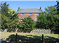
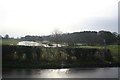
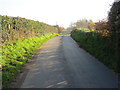
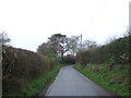
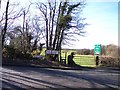
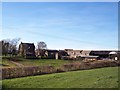
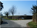
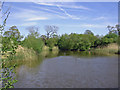
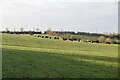
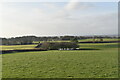
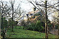
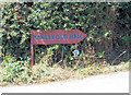
12 photos from this area
Area Information
Key information about the WA6 9DZ including its size, population, and administrative classification.
- Area Type
- Postcode
- Area Size
- 21.5 hectares
- Population
- 2320
- Population Density
- 94 people/km²
House Prices in WA6 9DZ
8
Properties
£277,500
Average Sold Price
£105,000
Lowest Price
£500,000
Highest Price
Showing 8 properties
| Address | Type | Beds | Baths | Last Sale Price | Last Sale Date | |
|---|---|---|---|---|---|---|
| Peacock Cottage, Sugar Lane, Manley, Frodsham, WA6 9DZ | Character Property | 2 | 1 | £330,000 | Jul 2024 | |
| Fern Bank Farm, Sugar Lane, Manley, Frodsham, WA6 9DZ | Detached | - | - | £500,000 | Jun 2003 | |
| Orchard Lodge, Sugar Lane, Manley, Frodsham, WA6 9DZ | Detached | - | - | £175,000 | Apr 2001 | |
| Apple Tree Cottage, Sugar Lane, Manley, Frodsham, WA6 9DZ | Semi-detached | 2 | 1 | £105,000 | Sep 2000 | |
| Pengot Cottage, Sugar Lane, Manley, Frodsham, WA6 9DZ | Semi-detached | - | - | - | - | |
| Meadow Bank Farm, Sugar Lane, Manley, Frodsham, WA6 9DZ | Detached | - | - | - | - | |
| Tall Trees House, Moss Lane, Manley, Frodsham, WA6 9DZ | Detached | - | - | - | - | |
| Windmill Bank, Sugar Lane, Manley, Frodsham, WA6 9DZ | Detached | - | - | - | - |
Energy Efficiency in WA6 9DZ
Amenities
Schools
| Rank | School | Type | Entry gender | Ages |
|---|
Explore more schools in this area
Go to Schools tabDemographics
Household Size
Two person
most common
Accommodation Type
Houses
most common
Tenure
90
majority
Ethnic Group
White
most common
Religion
N/A
most common
Household Composition
N/A
most common
Age
47
median
Adults (30-64 years)
most common
Household Deprivation
N/A
with no deprivation
NS-SEC
50
in Lower managerial occupations
Explore more demographic insights in this area
Go to Demographics tabPlanning
Planning Constraints
- Flood RiskPremium
- Ramsar Wetland SitesPremium
- Area of Outstanding Natural BeautyPremium
- Protected Nature ReservePremium
- Protected WoodlandPremium