Area Overview for WA5 4PA
Photos of WA5 4PA
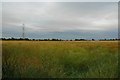
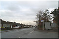
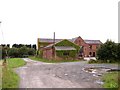
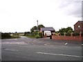
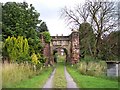
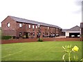
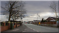
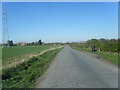
19 photos from this area
Area Information
Key information about the WA5 4PA including its size, population, and administrative classification.
- Area Type
- Postcode
- Area Size
- 2.2 hectares
- Population
- 1180
- Population Density
- 2264 people/km²
House Prices in WA5 4PA
57
Properties
£156,516
Average Sold Price
£59,950
Lowest Price
£285,000
Highest Price
Showing 57 properties
| Address | Type | Beds | Baths | Last Sale Price | Last Sale Date | |
|---|---|---|---|---|---|---|
| 42 Bakewell Road, Burtonwood And Westbrook, Warrington, WA5 4PA | Semi-detached | 3 | 1 | £223,550 | Feb 2025 | |
| 62 Bakewell Road, Burtonwood And Westbrook, Warrington, WA5 4PA | Bungalow | 3 | 1 | £200,000 | Sep 2023 | |
| 43 Bakewell Road, Burtonwood And Westbrook, Warrington, WA5 4PA | Semi-detached | 3 | 1 | £200,000 | Jan 2023 | |
| 29 Bakewell Road, Burtonwood And Westbrook, Warrington, WA5 4PA | Bungalow | 5 | 2 | £277,000 | Aug 2022 | |
| 12 Bakewell Road, Burtonwood And Westbrook, Warrington, WA5 4PA | Bungalow | - | - | £150,000 | Oct 2021 | |
| 6 Bakewell Road, Burtonwood And Westbrook, Warrington, WA5 4PA | Bungalow | 4 | 2 | £187,500 | Sep 2020 | |
| 1 Bakewell Road, Burtonwood And Westbrook, Warrington, WA5 4PA | Detached | 4 | 2 | £285,000 | Jan 2020 | |
| 9 Bakewell Road, Burtonwood And Westbrook, Warrington, WA5 4PA | Bungalow | 2 | 1 | £155,000 | Dec 2019 | |
| 37 Bakewell Road, Burtonwood And Westbrook, Warrington, WA5 4PA | Semi-detached | 3 | 1 | £143,500 | Nov 2019 | |
| 10 Bakewell Road, Burtonwood And Westbrook, Warrington, WA5 4PA | Bungalow | - | - | £137,000 | Nov 2019 |
Page 1 of 6
Energy Efficiency in WA5 4PA
Amenities
Schools
| Rank | School | Type | Entry gender | Ages |
|---|
Explore more schools in this area
Go to Schools tabDemographics
Household Size
Two person
most common
Accommodation Type
Houses
most common
Tenure
93
majority
Ethnic Group
White
most common
Religion
N/A
most common
Household Composition
N/A
most common
Age
47
median
Elderly (65+ years)
most common
Household Deprivation
N/A
with no deprivation
NS-SEC
28
in Lower managerial occupations
Explore more demographic insights in this area
Go to Demographics tabPlanning
Planning Constraints
- Flood RiskPremium
- Ramsar Wetland SitesPremium
- Area of Outstanding Natural BeautyPremium
- Protected Nature ReservePremium
- Protected WoodlandPremium