Area Overview for WA5 4HT
Photos of WA5 4HT
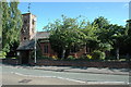
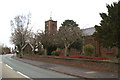
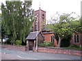
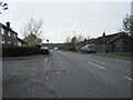
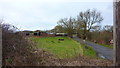
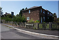

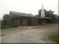
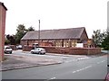
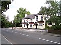
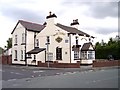
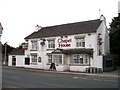
25 photos from this area
Area Information
Key information about the WA5 4HT including its size, population, and administrative classification.
- Area Type
- Postcode
- Area Size
- 9381 m²
- Population
- 1158
- Population Density
- 2525 people/km²
House Prices in WA5 4HT
23
Properties
£100,669
Average Sold Price
£58,000
Lowest Price
£190,000
Highest Price
Showing 23 properties
| Address | Type | Beds | Baths | Last Sale Price | Last Sale Date | |
|---|---|---|---|---|---|---|
| 23 Acton Road, Burtonwood And Westbrook, Warrington, WA5 4HT | Terraced | 4 | 1 | £190,000 | Aug 2022 | |
| 18 Acton Road, Burtonwood And Westbrook, Warrington, WA5 4HT | Semi-detached | 3 | 1 | £106,750 | Mar 2016 | |
| 10 Acton Road, Burtonwood And Westbrook, Warrington, WA5 4HT | house | - | - | £88,000 | Feb 2015 | |
| 7 Acton Road, Burtonwood And Westbrook, Warrington, WA5 4HT | Terraced | 3 | - | £81,000 | Jun 2013 | |
| 8 Acton Road, Burtonwood And Westbrook, Warrington, WA5 4HT | house | 3 | - | £82,050 | Dec 2012 | |
| 11 Acton Road, Burtonwood And Westbrook, Warrington, WA5 4HT | Terraced | - | - | £67,550 | Oct 2006 | |
| 14 Acton Road, Burtonwood And Westbrook, Warrington, WA5 4HT | Terraced | - | - | £132,000 | Sep 2004 | |
| 5 Acton Road, Burtonwood And Westbrook, Warrington, WA5 4HT | Terraced | - | - | £58,000 | Aug 2002 | |
| 16 Acton Road, Burtonwood And Westbrook, Warrington, WA5 4HT | Semi-detached | - | - | - | - | |
| 3 Acton Road, Burtonwood And Westbrook, Warrington, WA5 4HT | house | - | - | - | - |
Page 1 of 3
Energy Efficiency in WA5 4HT
Amenities
Schools
| Rank | School | Type | Entry gender | Ages |
|---|
Explore more schools in this area
Go to Schools tabDemographics
Household Size
Two person
most common
Accommodation Type
Houses
most common
Tenure
68
majority
Ethnic Group
White
most common
Religion
N/A
most common
Household Composition
N/A
most common
Age
47
median
Adults (30-64 years)
most common
Household Deprivation
N/A
with no deprivation
NS-SEC
24
in Lower managerial occupations
Explore more demographic insights in this area
Go to Demographics tabPlanning
Planning Constraints
- Flood RiskPremium
- Ramsar Wetland SitesPremium
- Area of Outstanding Natural BeautyPremium
- Protected Nature ReservePremium
- Protected WoodlandPremium