Area Overview for WA5 3FA
Photos of WA5 3FA
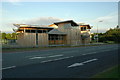
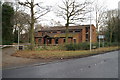
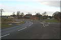
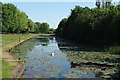
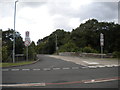
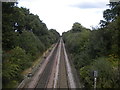
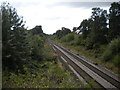
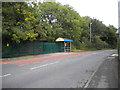
23 photos from this area
Area Information
Key information about the WA5 3FA including its size, population, and administrative classification.
- Area Type
- Postcode
- Area Size
- 4.0 hectares
- Population
- 1494
- Population Density
- 5094 people/km²
House Prices in WA5 3FA
60
Properties
£167,848
Average Sold Price
£42,500
Lowest Price
£432,000
Highest Price
Showing 60 properties
| Address | Type | Beds | Baths | Last Sale Price | Last Sale Date | |
|---|---|---|---|---|---|---|
| 9 Farmleigh Gardens, Great Sankey, Warrington, WA5 3FA | Detached | 4 | 2 | £425,000 | Sep 2025 | |
| 5 Farmleigh Gardens, Great Sankey, Warrington, WA5 3FA | Detached | 4 | 2 | £395,000 | Mar 2025 | |
| 29 Farmleigh Gardens, Great Sankey, Warrington, WA5 3FA | Detached | 4 | 3 | £432,000 | Aug 2023 | |
| 22 Farmleigh Gardens, Great Sankey, Warrington, WA5 3FA | Detached | 5 | - | £378,000 | Nov 2021 | |
| 21 Farmleigh Gardens, Great Sankey, Warrington, WA5 3FA | house | - | - | £320,000 | Jan 2021 | |
| 3 Farmleigh Gardens, Great Sankey, Warrington, WA5 3FA | house | - | - | £270,500 | Jul 2019 | |
| 12 Farmleigh Gardens, Great Sankey, Warrington, WA5 3FA | Detached | 4 | 3 | £260,000 | Oct 2017 | |
| 10 Farmleigh Gardens, Great Sankey, Warrington, WA5 3FA | Detached | 4 | 3 | £230,000 | Feb 2017 | |
| 2 Farmleigh Gardens, Great Sankey, Warrington, WA5 3FA | Detached | - | - | £240,000 | Dec 2016 | |
| 43 Farmleigh Gardens, Great Sankey, Warrington, WA5 3FA | Detached | 4 | - | £279,000 | Oct 2016 |
Page 1 of 6
Energy Efficiency in WA5 3FA
Amenities
Schools
| Rank | School | Type | Entry gender | Ages |
|---|
Explore more schools in this area
Go to Schools tabDemographics
Household Size
Family (3-5 people)
most common
Accommodation Type
Houses
most common
Tenure
71
majority
Ethnic Group
White
most common
Religion
N/A
most common
Household Composition
N/A
most common
Age
47
median
Adults (30-64 years)
most common
Household Deprivation
N/A
with no deprivation
NS-SEC
49
in Lower managerial occupations
Explore more demographic insights in this area
Go to Demographics tabPlanning
Planning Constraints
- Flood RiskPremium
- Ramsar Wetland SitesPremium
- Area of Outstanding Natural BeautyPremium
- Protected Nature ReservePremium
- Protected WoodlandPremium