Area Overview for WA4 2XE
Photos of WA4 2XE
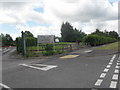

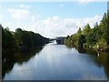
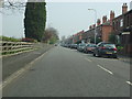
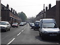
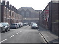
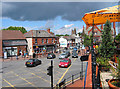
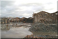

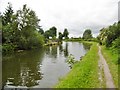
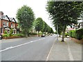
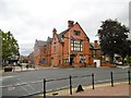
64 photos from this area
Area Information
Key information about the WA4 2XE including its size, population, and administrative classification.
- Area Type
- Postcode
- Area Size
- 8922 m²
- Population
- 1469
- Population Density
- 4008 people/km²
House Prices in WA4 2XE
13
Properties
£224,633
Average Sold Price
£800
Lowest Price
£340,000
Highest Price
Showing 13 properties
| Address | Type | Beds | Baths | Last Sale Price | Last Sale Date | |
|---|---|---|---|---|---|---|
| 36 Raymond Avenue, Stockton Heath, Warrington, WA4 2XE | Semi-detached | 4 | - | £800 | Apr 2021 | |
| 26 Raymond Avenue, Stockton Heath, Warrington, WA4 2XE | Detached | 3 | 2 | £262,000 | Feb 2019 | |
| 44 Raymond Avenue, Stockton Heath, Warrington, WA4 2XE | Semi-detached | 3 | 3 | £330,000 | Sep 2013 | |
| 28 Raymond Avenue, Stockton Heath, Warrington, WA4 2XE | house | 4 | - | £285,000 | Sep 2011 | |
| 40 Raymond Avenue, Stockton Heath, Warrington, WA4 2XE | Semi-detached | 4 | 2 | £340,000 | May 2008 | |
| 30 Raymond Avenue, Stockton Heath, Warrington, WA4 2XE | house | 4 | - | £130,000 | May 1998 | |
| 34A Raymond Avenue, Stockton Heath, Warrington, WA4 2XE | Detached | 3 | 3 | - | - | |
| 42 Raymond Avenue, Stockton Heath, Warrington, WA4 2XE | Retail | 3 | 1 | - | - | |
| 20 Raymond Avenue, Stockton Heath, Warrington, WA4 2XE | Detached | 4 | 2 | - | - | |
| 38 Raymond Avenue, Stockton Heath, Warrington, WA4 2XE | Semi-detached | - | - | - | - |
Page 1 of 2
Energy Efficiency in WA4 2XE
Amenities
Schools
| Rank | School | Type | Entry gender | Ages |
|---|
Explore more schools in this area
Go to Schools tabDemographics
Household Size
Family (3-5 people)
most common
Accommodation Type
Houses
most common
Tenure
72
majority
Ethnic Group
White
most common
Religion
N/A
most common
Household Composition
N/A
most common
Age
47
median
Adults (30-64 years)
most common
Household Deprivation
N/A
with no deprivation
NS-SEC
43
in Lower managerial occupations
Explore more demographic insights in this area
Go to Demographics tabPlanning
Planning Constraints
- Flood RiskPremium
- Ramsar Wetland SitesPremium
- Area of Outstanding Natural BeautyPremium
- Protected Nature ReservePremium
- Protected WoodlandPremium