Area Overview for WA4 2UR
Photos of WA4 2UR
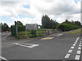

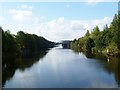
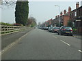


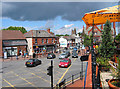
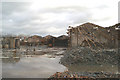

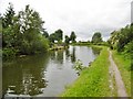
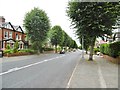
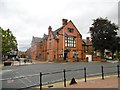
64 photos from this area
Area Information
Key information about the WA4 2UR including its size, population, and administrative classification.
- Area Type
- Postcode
- Area Size
- 4150 m²
- Population
- 1518
- Population Density
- 5289 people/km²
House Prices in WA4 2UR
19
Properties
£229,193
Average Sold Price
£67,000
Lowest Price
£350,000
Highest Price
Showing 19 properties
| Address | Type | Beds | Baths | Last Sale Price | Last Sale Date | |
|---|---|---|---|---|---|---|
| 31 Fairfield Road, Stockton Heath, Warrington, WA4 2UR | Terraced | 3 | 1 | £326,000 | Apr 2020 | |
| 27 Fairfield Road, Stockton Heath, Warrington, WA4 2UR | Terraced | 3 | 1 | £322,950 | Mar 2019 | |
| 37 Fairfield Road, Stockton Heath, Warrington, WA4 2UR | house | 3 | 1 | £219,500 | Sep 2016 | |
| 29 Fairfield Road, Stockton Heath, Warrington, WA4 2UR | Terraced | 3 | - | £280,000 | Jul 2015 | |
| 30 Fairfield Road, Stockton Heath, Warrington, WA4 2UR | Terraced | 3 | - | £242,000 | Jul 2014 | |
| 42 Fairfield Road, Stockton Heath, Warrington, WA4 2UR | house | - | - | £350,000 | Oct 2009 | |
| 40 Fairfield Road, Stockton Heath, Warrington, WA4 2UR | house | - | - | £236,475 | May 2009 | |
| 41 Fairfield Road, Stockton Heath, Warrington, WA4 2UR | Terraced | - | - | £172,000 | Apr 2006 | |
| 36 Fairfield Road, Stockton Heath, Warrington, WA4 2UR | Terraced | - | - | £76,000 | May 1999 | |
| 28 Fairfield Road, Stockton Heath, Warrington, WA4 2UR | Terraced | 3 | - | £67,000 | Apr 1998 |
Page 1 of 2
Energy Efficiency in WA4 2UR
Amenities
Schools
| Rank | School | Type | Entry gender | Ages |
|---|
Explore more schools in this area
Go to Schools tabDemographics
Household Size
One person
most common
Accommodation Type
Houses
most common
Tenure
71
majority
Ethnic Group
White
most common
Religion
N/A
most common
Household Composition
N/A
most common
Age
47
median
Adults (30-64 years)
most common
Household Deprivation
N/A
with no deprivation
NS-SEC
51
in Lower managerial occupations
Explore more demographic insights in this area
Go to Demographics tabPlanning
Planning Constraints
- Flood RiskPremium
- Ramsar Wetland SitesPremium
- Area of Outstanding Natural BeautyPremium
- Protected Nature ReservePremium
- Protected WoodlandPremium