Area Overview for WA3 3WA
Photos of WA3 3WA
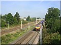

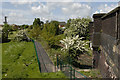
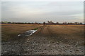
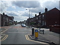
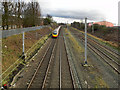
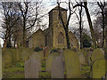
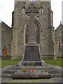
32 photos from this area
Area Information
Key information about the WA3 3WA including its size, population, and administrative classification.
- Area Type
- Postcode
- Area Size
- 4.7 hectares
- Population
- 1581
- Population Density
- 4728 people/km²
House Prices in WA3 3WA
77
Properties
£110,082
Average Sold Price
£23,000
Lowest Price
£240,000
Highest Price
Showing 77 properties
| Address | Type | Beds | Baths | Last Sale Price | Last Sale Date | |
|---|---|---|---|---|---|---|
| 151 Waltersgreen Crescent, Golborne, WA3 3WA | Semi-detached | 2 | 1 | £175,000 | Mar 2025 | |
| 61 Waltersgreen Crescent, Golborne, WA3 3WA | Semi-detached | 3 | 2 | £215,000 | Jul 2024 | |
| 157 Waltersgreen Crescent, Golborne, WA3 3WA | Terraced | 3 | 1 | £175,000 | Jan 2024 | |
| 59 Waltersgreen Crescent, Golborne, WA3 3WA | Semi-detached | 3 | 1 | £177,500 | Dec 2023 | |
| 15 Waltersgreen Crescent, Golborne, WA3 3WA | Semi-detached | 3 | 1 | £210,000 | Oct 2023 | |
| 163 Waltersgreen Crescent, Golborne, WA3 3WA | Semi-detached | 3 | 1 | £186,000 | Jul 2023 | |
| 73 Waltersgreen Crescent, Golborne, WA3 3WA | Detached | 3 | 3 | £212,000 | Apr 2023 | |
| 121 Waltersgreen Crescent, Golborne, WA3 3WA | Semi-detached | 3 | 2 | £160,000 | Apr 2023 | |
| 123 Waltersgreen Crescent, Golborne, WA3 3WA | Semi-detached | 3 | 2 | £231,000 | Sep 2022 | |
| 81 Waltersgreen Crescent, Golborne, WA3 3WA | house | - | - | £177,000 | May 2022 |
Page 1 of 8
Energy Efficiency in WA3 3WA
Amenities
Schools
| Rank | School | Type | Entry gender | Ages |
|---|
Explore more schools in this area
Go to Schools tabDemographics
Household Size
Family (3-5 people)
most common
Accommodation Type
Houses
most common
Tenure
82
majority
Ethnic Group
White
most common
Religion
N/A
most common
Household Composition
N/A
most common
Age
47
median
Adults (30-64 years)
most common
Household Deprivation
N/A
with no deprivation
NS-SEC
28
in Lower managerial occupations
Explore more demographic insights in this area
Go to Demographics tabPlanning
Planning Constraints
- Flood RiskPremium
- Ramsar Wetland SitesPremium
- Area of Outstanding Natural BeautyPremium
- Protected Nature ReservePremium
- Protected WoodlandPremium