Area Overview for WA3 3HL
Photos of WA3 3HL
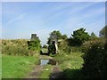
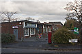
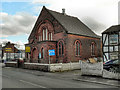
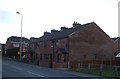
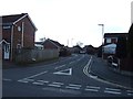
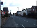
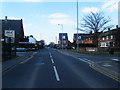
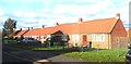
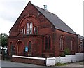
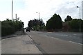
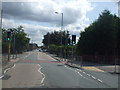

15 photos from this area
Area Information
Key information about the WA3 3HL including its size, population, and administrative classification.
- Area Type
- Postcode
- Area Size
- 3004 m²
- Population
- 1556
- Population Density
- 3299 people/km²
House Prices in WA3 3HL
7
Properties
£70,938
Average Sold Price
£35,950
Lowest Price
£110,000
Highest Price
Showing 7 properties
| Address | Type | Beds | Baths | Last Sale Price | Last Sale Date | |
|---|---|---|---|---|---|---|
| 157 Lowton Road, Golborne, WA3 3HL | house | 2 | - | £66,000 | Nov 2013 | |
| 153 Lowton Road, Golborne, WA3 3HL | Terraced | 3 | - | £110,000 | Jun 2013 | |
| 163 Lowton Road, Golborne, WA3 3HL | Semi-detached | - | - | £71,800 | Mar 1999 | |
| 155 Lowton Road, Golborne, WA3 3HL | Semi-detached | - | - | £35,950 | Jan 1999 | |
| 151A Lowton Road, Golborne, WA3 3HL | Semi-detached | 2 | 1 | - | - | |
| 159 Lowton Road, Golborne, WA3 3HL | Semi-detached | - | - | - | - | |
| Flat, 151 Lowton Road, Golborne, WA3 3HL | Flat | - | - | - | - |
Energy Efficiency in WA3 3HL
Amenities
Schools
| Rank | School | Type | Entry gender | Ages |
|---|
Explore more schools in this area
Go to Schools tabDemographics
Household Size
One person
most common
Accommodation Type
Houses
most common
Tenure
52
majority
Ethnic Group
White
most common
Religion
N/A
most common
Household Composition
N/A
most common
Age
47
median
Adults (30-64 years)
most common
Household Deprivation
N/A
with no deprivation
NS-SEC
21
in Lower managerial occupations
Explore more demographic insights in this area
Go to Demographics tabPlanning
Planning Constraints
- Flood RiskPremium
- Ramsar Wetland SitesPremium
- Area of Outstanding Natural BeautyPremium
- Protected Nature ReservePremium
- Protected WoodlandPremium