Area Overview for WA3 2SE
Photos of WA3 2SE
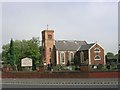
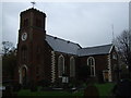
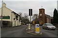
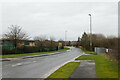
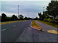
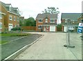
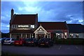
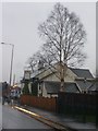
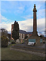
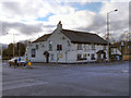
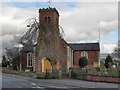
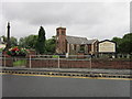
27 photos from this area
Area Information
Key information about the WA3 2SE including its size, population, and administrative classification.
- Area Type
- Postcode
- Area Size
- 5.0 hectares
- Population
- 2642
- Population Density
- 557 people/km²
House Prices in WA3 2SE
38
Properties
£131,948
Average Sold Price
£10,000
Lowest Price
£280,000
Highest Price
Showing 38 properties
| Address | Type | Beds | Baths | Last Sale Price | Last Sale Date | |
|---|---|---|---|---|---|---|
| 8 Stone Cross Lane North, Lowton, WA3 2SE | Bungalow | 3 | 1 | £270,000 | May 2025 | |
| 28 Stone Cross Lane North, Lowton, WA3 2SE | house | 3 | - | £195,000 | Jan 2023 | |
| 60 Stone Cross Lane North, Lowton, WA3 2SE | house | - | - | £192,500 | Sep 2022 | |
| 12 Stone Cross Lane North, Lowton, WA3 2SE | Bungalow | - | - | £280,000 | Jan 2022 | |
| 40 Stone Cross Lane North, Lowton, WA3 2SE | Semi-detached | 3 | 1 | £219,500 | Sep 2021 | |
| 50 Stone Cross Lane North, Lowton, WA3 2SE | Detached | 4 | 2 | £260,000 | Jan 2021 | |
| 58 Stone Cross Lane North, Lowton, WA3 2SE | house | - | - | £144,000 | Jul 2019 | |
| 66 Stone Cross Lane North, Lowton, WA3 2SE | house | - | - | £118,000 | Mar 2018 | |
| 10 Stone Cross Lane North, Lowton, WA3 2SE | Bungalow | - | - | £215,000 | Oct 2017 | |
| 48 Stone Cross Lane North, Lowton, WA3 2SE | house | - | - | £95,591 | Sep 2017 |
Page 1 of 4
Energy Efficiency in WA3 2SE
Amenities
Schools
| Rank | School | Type | Entry gender | Ages |
|---|
Explore more schools in this area
Go to Schools tabDemographics
Household Size
Two person
most common
Accommodation Type
Houses
most common
Tenure
87
majority
Ethnic Group
White
most common
Religion
N/A
most common
Household Composition
N/A
most common
Age
47
median
Adults (30-64 years)
most common
Household Deprivation
N/A
with no deprivation
NS-SEC
46
in Lower managerial occupations
Explore more demographic insights in this area
Go to Demographics tabPlanning
Planning Constraints
- Flood RiskPremium
- Ramsar Wetland SitesPremium
- Area of Outstanding Natural BeautyPremium
- Protected Nature ReservePremium
- Protected WoodlandPremium