Area Overview for WA3 2DH
Photos of WA3 2DH
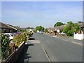
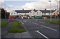
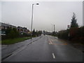
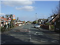
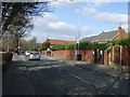
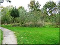
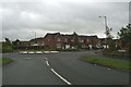
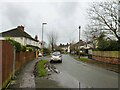
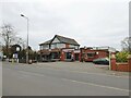
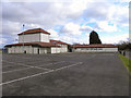
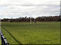
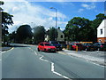
15 photos from this area
Area Information
Key information about the WA3 2DH including its size, population, and administrative classification.
- Area Type
- Postcode
- Area Size
- 4041 m²
- Population
- 1664
- Population Density
- 3267 people/km²
House Prices in WA3 2DH
15
Properties
£111,210
Average Sold Price
£43,950
Lowest Price
£255,000
Highest Price
Showing 15 properties
| Address | Type | Beds | Baths | Last Sale Price | Last Sale Date | |
|---|---|---|---|---|---|---|
| 5 Hopwood Close, Lowton, WA3 2DH | house | - | - | £136,000 | Mar 2022 | |
| 10 Hopwood Close, Lowton, WA3 2DH | house | - | - | £255,000 | Jan 2022 | |
| 7 Hopwood Close, Lowton, WA3 2DH | Semi-detached | 3 | - | £171,000 | Jun 2020 | |
| 1 Hopwood Close, Lowton, WA3 2DH | Semi-detached | 2 | 1 | £108,000 | Apr 2017 | |
| 14 Hopwood Close, Lowton, WA3 2DH | Semi-detached | 3 | - | £138,500 | Jul 2015 | |
| 6 Hopwood Close, Lowton, WA3 2DH | Detached | 4 | 2 | £184,000 | Jan 2015 | |
| 2 Hopwood Close, Lowton, WA3 2DH | house | 3 | - | £145,000 | Sep 2014 | |
| 18 Hopwood Close, Lowton, WA3 2DH | house | - | - | £105,000 | Aug 2009 | |
| 3 Hopwood Close, Lowton, WA3 2DH | house | - | - | £43,950 | Sep 1998 | |
| 4 Hopwood Close, Lowton, WA3 2DH | Semi-detached | - | - | £84,950 | Sep 1997 |
Page 1 of 2
Energy Efficiency in WA3 2DH
Amenities
Schools
| Rank | School | Type | Entry gender | Ages |
|---|
Explore more schools in this area
Go to Schools tabDemographics
Household Size
One person
most common
Accommodation Type
Houses
most common
Tenure
49
majority
Ethnic Group
White
most common
Religion
N/A
most common
Household Composition
N/A
most common
Age
47
median
Adults (30-64 years)
most common
Household Deprivation
N/A
with no deprivation
NS-SEC
29
in Lower managerial occupations
Explore more demographic insights in this area
Go to Demographics tabPlanning
Planning Constraints
- Flood RiskPremium
- Ramsar Wetland SitesPremium
- Area of Outstanding Natural BeautyPremium
- Protected Nature ReservePremium
- Protected WoodlandPremium