Area Overview for WA2 9TY
Photos of WA2 9TY
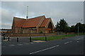
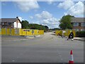
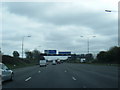
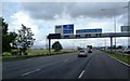
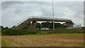
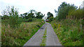
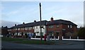
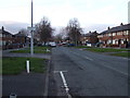
17 photos from this area
Area Information
Key information about the WA2 9TY including its size, population, and administrative classification.
- Area Type
- Postcode
- Area Size
- 8047 m²
- Population
- 1484
- Population Density
- 6845 people/km²
House Prices in WA2 9TY
28
Properties
£121,774
Average Sold Price
£38,950
Lowest Price
£287,500
Highest Price
Showing 28 properties
| Address | Type | Beds | Baths | Last Sale Price | Last Sale Date | |
|---|---|---|---|---|---|---|
| 278 Poplars Avenue, Warrington, WA2 9TY | Semi-detached | 3 | 2 | £287,500 | Sep 2024 | |
| 248 Poplars Avenue, Warrington, WA2 9TY | house | 3 | 1 | £135,000 | Aug 2023 | |
| 264 Poplars Avenue, Warrington, WA2 9TY | Terraced | 2 | 1 | £140,000 | Dec 2022 | |
| 238 Poplars Avenue, Warrington, WA2 9TY | Retail | 3 | 1 | £138,000 | Aug 2022 | |
| 280 Poplars Avenue, Warrington, WA2 9TY | house | 5 | - | £240,000 | Dec 2021 | |
| 270 Poplars Avenue, Warrington, WA2 9TY | Terraced | 3 | - | £146,000 | Mar 2021 | |
| 252 Poplars Avenue, Warrington, WA2 9TY | Terraced | 3 | - | £135,250 | Mar 2021 | |
| 268 Poplars Avenue, Warrington, WA2 9TY | Terraced | 2 | 1 | £95,000 | Nov 2019 | |
| 272 Poplars Avenue, Warrington, WA2 9TY | Terraced | 3 | 1 | £127,000 | Mar 2019 | |
| 258 Poplars Avenue, Warrington, WA2 9TY | Terraced | 2 | 1 | £77,500 | Oct 2015 |
Page 1 of 3
Energy Efficiency in WA2 9TY
Amenities
Schools
| Rank | School | Type | Entry gender | Ages |
|---|
Explore more schools in this area
Go to Schools tabDemographics
Household Size
Family (3-5 people)
most common
Accommodation Type
Houses
most common
Tenure
45
majority
Ethnic Group
White
most common
Religion
N/A
most common
Household Composition
N/A
most common
Age
47
median
Adults (30-64 years)
most common
Household Deprivation
N/A
with no deprivation
NS-SEC
19
in Lower managerial occupations
Explore more demographic insights in this area
Go to Demographics tabPlanning
Planning Constraints
- Flood RiskPremium
- Ramsar Wetland SitesPremium
- Area of Outstanding Natural BeautyPremium
- Protected Nature ReservePremium
- Protected WoodlandPremium