Area Overview for WA16 9BZ
Photos of WA16 9BZ

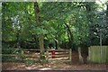
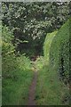
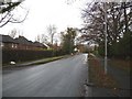
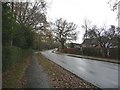
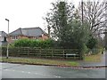
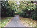
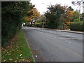
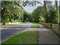
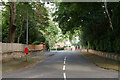
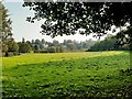
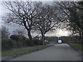
18 photos from this area
Area Information
Key information about the WA16 9BZ including its size, population, and administrative classification.
- Area Type
- Postcode
- Area Size
- 7685 m²
- Population
- 1336
- Population Density
- 2295 people/km²
House Prices in WA16 9BZ
12
Properties
£479,938
Average Sold Price
£175,000
Lowest Price
£675,000
Highest Price
Showing 12 properties
| Address | Type | Beds | Baths | Last Sale Price | Last Sale Date | |
|---|---|---|---|---|---|---|
| 12 Arundel Close, Knutsford, WA16 9BZ | house | - | - | £675,000 | May 2018 | |
| 9 Arundel Close, Knutsford, WA16 9BZ | Detached | 4 | 2 | £607,000 | Sep 2017 | |
| 10 Arundel Close, Knutsford, WA16 9BZ | Detached | 4 | 2 | £520,000 | Aug 2014 | |
| 14 Arundel Close, Knutsford, WA16 9BZ | house | - | - | £480,000 | Nov 2011 | |
| 4 Arundel Close, Knutsford, WA16 9BZ | Detached | - | - | £565,000 | Aug 2007 | |
| 8 Arundel Close, Knutsford, WA16 9BZ | Detached | - | - | £437,500 | Dec 2005 | |
| 1 Arundel Close, Knutsford, WA16 9BZ | Detached | - | - | £380,000 | Aug 2003 | |
| 5 Arundel Close, Knutsford, WA16 9BZ | Detached | - | - | £175,000 | Jun 1996 | |
| 3 Arundel Close, Knutsford, WA16 9BZ | Detached | - | - | - | - | |
| 6 Arundel Close, Knutsford, WA16 9BZ | Detached | - | - | - | - |
Page 1 of 2
Energy Efficiency in WA16 9BZ
Amenities
Schools
| Rank | School | Type | Entry gender | Ages |
|---|
Explore more schools in this area
Go to Schools tabDemographics
Household Size
Family (3-5 people)
most common
Accommodation Type
Houses
most common
Tenure
94
majority
Ethnic Group
White
most common
Religion
N/A
most common
Household Composition
N/A
most common
Age
47
median
Adults (30-64 years)
most common
Household Deprivation
N/A
with no deprivation
NS-SEC
57
in Lower managerial occupations
Explore more demographic insights in this area
Go to Demographics tabPlanning
Planning Constraints
- Flood RiskPremium
- Ramsar Wetland SitesPremium
- Area of Outstanding Natural BeautyPremium
- Protected Nature ReservePremium
- Protected WoodlandPremium