Area Overview for WA16 6TH
Photos of WA16 6TH
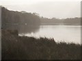
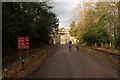
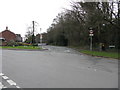
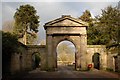
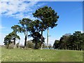
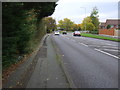
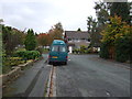
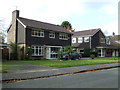
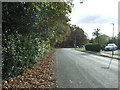
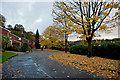
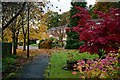
49 photos from this area
Area Information
Key information about the WA16 6TH including its size, population, and administrative classification.
- Area Type
- Postcode
- Area Size
- 21.1 hectares
- Population
- 1097
- Population Density
- 438 people/km²
House Prices in WA16 6TH
13
Properties
£441,500
Average Sold Price
£219,000
Lowest Price
£550,000
Highest Price
Showing 13 properties
| Address | Type | Beds | Baths | Last Sale Price | Last Sale Date | |
|---|---|---|---|---|---|---|
| 1 Hillside Road, Knutsford, WA16 6TH | house | - | - | £525,000 | Dec 2020 | |
| 19 Hillside Road, Knutsford, WA16 6TH | Detached | 5 | 3 | £545,000 | Mar 2016 | |
| 9 Hillside Road, Knutsford, WA16 6TH | Detached | 4 | 1 | £550,000 | Feb 2015 | |
| 3 Hillside Road, Knutsford, WA16 6TH | Detached | 3 | - | £354,500 | Jan 2014 | |
| 13 Hillside Road, Knutsford, WA16 6TH | Detached | 5 | 2 | £520,000 | Aug 2012 | |
| 11 Hillside Road, Knutsford, WA16 6TH | Detached | - | - | £450,000 | Aug 2007 | |
| 21 Hillside Road, Knutsford, WA16 6TH | house | - | - | £390,000 | Feb 2005 | |
| 7 Hillside Road, Knutsford, WA16 6TH | Detached | - | - | £420,000 | Sep 2002 | |
| 5 Hillside Road, Knutsford, WA16 6TH | Detached | - | - | £219,000 | Nov 2001 | |
| The Annex, 13 Hillside Road, Knutsford, WA16 6TH | Flat | - | - | - | - |
Page 1 of 2
Energy Efficiency in WA16 6TH
Amenities
Schools
| Rank | School | Type | Entry gender | Ages |
|---|
Explore more schools in this area
Go to Schools tabDemographics
Household Size
Two person
most common
Accommodation Type
Houses
most common
Tenure
90
majority
Ethnic Group
White
most common
Religion
N/A
most common
Household Composition
N/A
most common
Age
47
median
Adults (30-64 years)
most common
Household Deprivation
N/A
with no deprivation
NS-SEC
52
in Lower managerial occupations
Explore more demographic insights in this area
Go to Demographics tabPlanning
Planning Constraints
- Flood RiskPremium
- Ramsar Wetland SitesPremium
- Area of Outstanding Natural BeautyPremium
- Protected Nature ReservePremium
- Protected WoodlandPremium