Area Overview for WA16 0EB
Photos of WA16 0EB
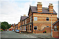
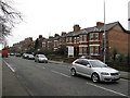
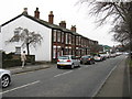
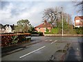
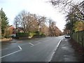
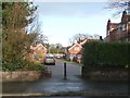
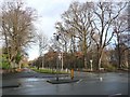
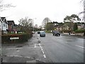
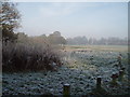
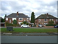
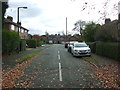
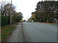
41 photos from this area
Area Information
Key information about the WA16 0EB including its size, population, and administrative classification.
- Area Type
- Postcode
- Area Size
- 2.4 hectares
- Population
- 1383
- Population Density
- 2307 people/km²
House Prices in WA16 0EB
56
Properties
£419,088
Average Sold Price
£116,000
Lowest Price
£785,000
Highest Price
Showing 56 properties
| Address | Type | Beds | Baths | Last Sale Price | Last Sale Date | |
|---|---|---|---|---|---|---|
| 27 Cranford Avenue, Knutsford, WA16 0EB | Terraced | 3 | 2 | £530,000 | Jun 2025 | |
| 21 Cranford Avenue, Knutsford, WA16 0EB | Terraced | 3 | 3 | £490,000 | Jun 2025 | |
| 49 Cranford Avenue, Knutsford, WA16 0EB | Semi-detached | 3 | 2 | £450,000 | Jun 2025 | |
| 53 Cranford Avenue, Knutsford, WA16 0EB | Terraced | 3 | 2 | £440,000 | May 2025 | |
| 51 Cranford Avenue, Knutsford, WA16 0EB | Semi-detached | 3 | 2 | £425,000 | Mar 2025 | |
| 23 Cranford Avenue, Knutsford, WA16 0EB | Terraced | 3 | 2 | £480,000 | Dec 2024 | |
| 11 Cranford Avenue, Knutsford, WA16 0EB | Terraced | 3 | 2 | £475,000 | Sep 2024 | |
| 36 Cranford Avenue, Knutsford, WA16 0EB | Terraced | 3 | 2 | £485,000 | Jul 2024 | |
| 46 Cranford Avenue, Knutsford, WA16 0EB | Semi-detached | 3 | 2 | £710,000 | Mar 2024 | |
| 28 Cranford Avenue, Knutsford, WA16 0EB | Terraced | 4 | 2 | £607,500 | Oct 2023 |
Page 1 of 6
Energy Efficiency in WA16 0EB
Amenities
Schools
| Rank | School | Type | Entry gender | Ages |
|---|
Explore more schools in this area
Go to Schools tabDemographics
Household Size
Two person
most common
Accommodation Type
Houses
most common
Tenure
71
majority
Ethnic Group
White
most common
Religion
N/A
most common
Household Composition
N/A
most common
Age
47
median
Adults (30-64 years)
most common
Household Deprivation
N/A
with no deprivation
NS-SEC
50
in Lower managerial occupations
Explore more demographic insights in this area
Go to Demographics tabPlanning
Planning Constraints
- Flood RiskPremium
- Ramsar Wetland SitesPremium
- Area of Outstanding Natural BeautyPremium
- Protected Nature ReservePremium
- Protected WoodlandPremium