Area Overview for WA15 8WL
Photos of WA15 8WL
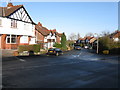
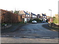
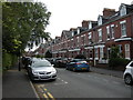
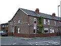
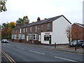
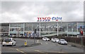
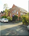
71 photos from this area
Area Information
Key information about the WA15 8WL including its size, population, and administrative classification.
- Area Type
- Postcode
- Area Size
- 1.2 hectares
- Population
- 1805
- Population Density
- 6222 people/km²
House Prices in WA15 8WL
15
Properties
£247,992
Average Sold Price
£152,995
Lowest Price
£370,000
Highest Price
Showing 15 properties
| Address | Type | Beds | Baths | Last Sale Price | Last Sale Date | |
|---|---|---|---|---|---|---|
| 12 Thornlea, Altrincham, WA15 8WL | Terraced | 3 | - | £370,000 | May 2023 | |
| 18 Thornlea, Altrincham, WA15 8WL | house | - | - | £328,000 | Dec 2020 | |
| 4 Thornlea, Altrincham, WA15 8WL | house | - | - | £299,950 | Aug 2018 | |
| 6 Thornlea, Altrincham, WA15 8WL | house | - | - | £277,000 | Jan 2017 | |
| 10 Thornlea, Altrincham, WA15 8WL | Terraced | 3 | 2 | £184,000 | Apr 2011 | |
| 14 Thornlea, Altrincham, WA15 8WL | Terraced | - | - | £185,000 | Apr 2010 | |
| 9 Thornlea, Altrincham, WA15 8WL | Semi-detached | 3 | - | £220,000 | Aug 2007 | |
| 11 Thornlea, Altrincham, WA15 8WL | Semi-detached | 3 | 2 | £223,000 | Aug 2007 | |
| 5 Thornlea, Altrincham, WA15 8WL | Terraced | - | - | £240,000 | Apr 2007 | |
| 2 Thornlea, Altrincham, WA15 8WL | Detached | - | - | £239,950 | Apr 2006 |
Page 1 of 2
Energy Efficiency in WA15 8WL
Amenities
Schools
| Rank | School | Type | Entry gender | Ages |
|---|
Explore more schools in this area
Go to Schools tabDemographics
Household Size
Family (3-5 people)
most common
Accommodation Type
Houses
most common
Tenure
80
majority
Ethnic Group
White
most common
Religion
N/A
most common
Household Composition
N/A
most common
Age
47
median
Adults (30-64 years)
most common
Household Deprivation
N/A
with no deprivation
NS-SEC
58
in Lower managerial occupations
Explore more demographic insights in this area
Go to Demographics tabPlanning
Planning Constraints
- Flood RiskPremium
- Ramsar Wetland SitesPremium
- Area of Outstanding Natural BeautyPremium
- Protected Nature ReservePremium
- Protected WoodlandPremium