Area Overview for WA15 0SN
Photos of WA15 0SN
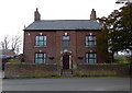
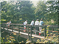
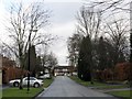
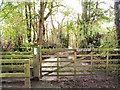
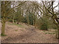
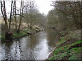
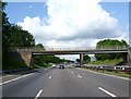
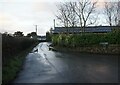

43 photos from this area
Area Information
Key information about the WA15 0SN including its size, population, and administrative classification.
- Area Type
- Postcode
- Area Size
- 7865 m²
- Population
- 1421
- Population Density
- 1038 people/km²
House Prices in WA15 0SN
11
Properties
£468,938
Average Sold Price
£183,500
Lowest Price
£935,000
Highest Price
Showing 11 properties
| Address | Type | Beds | Baths | Last Sale Price | Last Sale Date | |
|---|---|---|---|---|---|---|
| 10 Greengate, Hale Barns, WA15 0SN | Detached | 6 | 4 | £935,000 | Aug 2023 | |
| 8 Greengate, Hale Barns, WA15 0SN | house | - | - | £550,000 | Sep 2015 | |
| 9 Greengate, Hale Barns, WA15 0SN | Detached | 3 | 1 | £360,000 | Oct 2012 | |
| 6 Greengate, Hale Barns, WA15 0SN | Detached | 4 | - | £441,000 | Aug 2012 | |
| 4 Greengate, Hale Barns, WA15 0SN | Detached | 4 | 2 | £405,000 | Jun 2007 | |
| 2 Greengate, Hale Barns, WA15 0SN | Detached | - | - | £495,000 | May 2007 | |
| 3 Greengate, Hale Barns, WA15 0SN | Detached | - | - | £382,000 | Jun 2005 | |
| 5 Greengate, Hale Barns, WA15 0SN | Detached | - | - | £183,500 | Jan 2000 | |
| 12 Greengate, Hale Barns, WA15 0SN | Detached | 5 | 3 | - | - | |
| 1 Greengate, Hale Barns, WA15 0SN | house | - | - | - | - |
Page 1 of 2
Energy Efficiency in WA15 0SN
Amenities
Schools
| Rank | School | Type | Entry gender | Ages |
|---|
Explore more schools in this area
Go to Schools tabDemographics
Household Size
Family (3-5 people)
most common
Accommodation Type
Houses
most common
Tenure
88
majority
Ethnic Group
White
most common
Religion
N/A
most common
Household Composition
N/A
most common
Age
47
median
Adults (30-64 years)
most common
Household Deprivation
N/A
with no deprivation
NS-SEC
53
in Lower managerial occupations
Explore more demographic insights in this area
Go to Demographics tabPlanning
Planning Constraints
- Flood RiskPremium
- Ramsar Wetland SitesPremium
- Area of Outstanding Natural BeautyPremium
- Protected Nature ReservePremium
- Protected WoodlandPremium