Area Overview for WA14 3LX
Photos of WA14 3LX
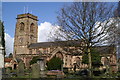
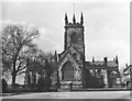
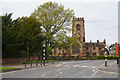
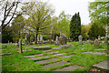
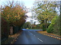
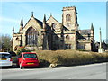
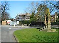
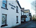
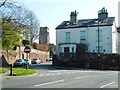
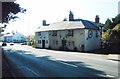
43 photos from this area
Area Information
Key information about the WA14 3LX including its size, population, and administrative classification.
- Area Type
- Postcode
- Area Size
- 1.6 hectares
- Population
- 1385
- Population Density
- 1015 people/km²
House Prices in WA14 3LX
17
Properties
£1,333,000
Average Sold Price
£590,000
Lowest Price
£2,000,000
Highest Price
Showing 17 properties
| Address | Type | Beds | Baths | Last Sale Price | Last Sale Date | |
|---|---|---|---|---|---|---|
| Stamford House, 24A Bow Green Road, Bowdon, WA14 3LX | Detached | 6 | 6 | £2,000,000 | Mar 2021 | |
| Massey House, 24 Bow Green Road, Bowdon, WA14 3LX | Detached | 6 | 5 | £1,750,000 | Aug 2017 | |
| 22 Bow Green Road, Bowdon, WA14 3LX | Detached | - | - | £1,090,000 | Mar 2010 | |
| 9 Bow Green Road, Bowdon, WA14 3LX | Land | 1 | - | £1,235,000 | Sep 2005 | |
| Old Wells Cottage, 20 Bow Green Road, Bowdon, WA14 3LX | Detached | 6 | 6 | £590,000 | Mar 2002 | |
| 7 Bow Green Road, Bowdon, WA14 3LX | Detached | 4 | - | - | - | |
| 5 Bow Green Road, Bowdon, WA14 3LX | house | - | - | - | - | |
| 3B Bow Green Road, Bowdon, WA14 3LX | Detached | - | - | - | - | |
| 3A Bow Green Road, Bowdon, WA14 3LX | Detached | - | - | - | - | |
| 3, Bow Green Mews, Bow Green Road, Bowdon, WA14 3LX | Flat | - | - | - | - |
Page 1 of 2
Energy Efficiency in WA14 3LX
Amenities
Schools
| Rank | School | Type | Entry gender | Ages |
|---|
Explore more schools in this area
Go to Schools tabDemographics
Household Size
Family (3-5 people)
most common
Accommodation Type
Houses
most common
Tenure
94
majority
Ethnic Group
White
most common
Religion
N/A
most common
Household Composition
N/A
most common
Age
47
median
Adults (30-64 years)
most common
Household Deprivation
N/A
with no deprivation
NS-SEC
60
in Lower managerial occupations
Explore more demographic insights in this area
Go to Demographics tabPlanning
Planning Constraints
- Flood RiskPremium
- Ramsar Wetland SitesPremium
- Area of Outstanding Natural BeautyPremium
- Protected Nature ReservePremium
- Protected WoodlandPremium