Area Overview for WA14 3HU
Photos of WA14 3HU

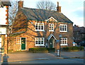
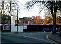
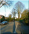
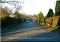

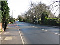


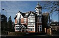
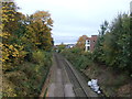
100 photos from this area
Area Information
Key information about the WA14 3HU including its size, population, and administrative classification.
- Area Type
- Postcode
- Area Size
- 2.0 hectares
- Population
- 1688
- Population Density
- 1569 people/km²
House Prices in WA14 3HU
26
Properties
£766,050
Average Sold Price
£227,500
Lowest Price
£1,085,000
Highest Price
Showing 26 properties
| Address | Type | Beds | Baths | Last Sale Price | Last Sale Date | |
|---|---|---|---|---|---|---|
| 8 South Downs Road, Hale Barns, WA14 3HU | Semi-detached | 4 | 3 | £1,085,000 | Jul 2021 | |
| 4 South Downs Road, Hale Barns, WA14 3HU | house | - | - | £920,000 | Nov 2020 | |
| 10 South Downs Road, Hale Barns, WA14 3HU | Semi-detached | 5 | 3 | £732,250 | Jan 2015 | |
| 7 South Downs Road, Hale Barns, WA14 3HU | house | 5 | 4 | £915,000 | Nov 2011 | |
| Flat 8, The Dell, South Downs Road, Hale Barns, WA14 3HU | Flat | - | - | £675,000 | Apr 2011 | |
| 6 South Downs Road, Hale Barns, WA14 3HU | house | - | - | £575,000 | Jul 2009 | |
| 3A South Downs Road, Hale Barns, WA14 3HU | Detached | - | - | £910,000 | Apr 2006 | |
| Sidcot House, 5 South Downs Road, Hale Barns, WA14 3HU | Retail | 7 | 3 | £1,075,000 | Aug 2004 | |
| 5A South Downs Road, Hale Barns, WA14 3HU | Detached | 4 | 3 | £856,800 | Aug 2003 | |
| 7A South Downs Road, Hale Barns, WA14 3HU | Detached | - | - | £455,000 | Jul 2000 |
Page 1 of 3
Energy Efficiency in WA14 3HU
Amenities
Schools
| Rank | School | Type | Entry gender | Ages |
|---|
Explore more schools in this area
Go to Schools tabDemographics
Household Size
Family (3-5 people)
most common
Accommodation Type
Houses
most common
Tenure
73
majority
Ethnic Group
White
most common
Religion
N/A
most common
Household Composition
N/A
most common
Age
47
median
Adults (30-64 years)
most common
Household Deprivation
N/A
with no deprivation
NS-SEC
47
in Lower managerial occupations
Explore more demographic insights in this area
Go to Demographics tabPlanning
Planning Constraints
- Flood RiskPremium
- Ramsar Wetland SitesPremium
- Area of Outstanding Natural BeautyPremium
- Protected Nature ReservePremium
- Protected WoodlandPremium