Area Overview for WA14 2SY
Photos of WA14 2SY

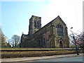
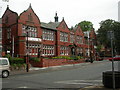
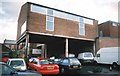
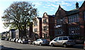
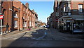
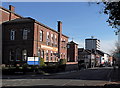

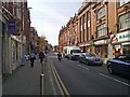
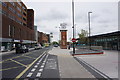
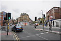
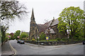
100 photos from this area
Area Information
Key information about the WA14 2SY including its size, population, and administrative classification.
- Area Type
- Postcode
- Area Size
- 1.4 hectares
- Population
- 1643
- Population Density
- 6219 people/km²
House Prices in WA14 2SY
64
Properties
£98,675
Average Sold Price
£32,000
Lowest Price
£160,000
Highest Price
Showing 64 properties
| Address | Type | Beds | Baths | Last Sale Price | Last Sale Date | |
|---|---|---|---|---|---|---|
| 42 Lloyd Gardens, Altrincham, WA14 2SY | Flat | - | - | £160,000 | Aug 2023 | |
| 63 Lloyd Gardens, Altrincham, WA14 2SY | Flat | - | - | £115,000 | Jun 2022 | |
| 75 Lloyd Gardens, Altrincham, WA14 2SY | Flat | - | - | £115,000 | Oct 2018 | |
| 18 Lloyd Gardens, Altrincham, WA14 2SY | Maisonette | - | - | £80,051 | Feb 2014 | |
| 19 Lloyd Gardens, Altrincham, WA14 2SY | Flat | - | - | £90,000 | May 2011 | |
| 37 Lloyd Gardens, Altrincham, WA14 2SY | Flat | 1 | 1 | £32,000 | Jul 1998 | |
| 4 Lloyd Gardens, Altrincham, WA14 2SY | Flat | - | - | - | - | |
| 8 Lloyd Gardens, Altrincham, WA14 2SY | Maisonette | - | - | - | - | |
| 5 Lloyd Gardens, Altrincham, WA14 2SY | Flat | - | - | - | - | |
| 45 Lloyd Gardens, Altrincham, WA14 2SY | Flat | - | - | - | - |
Page 1 of 7
Energy Efficiency in WA14 2SY
Amenities
Schools
| Rank | School | Type | Entry gender | Ages |
|---|
Explore more schools in this area
Go to Schools tabDemographics
Household Size
One person
most common
Accommodation Type
Houses
most common
Tenure
57
majority
Ethnic Group
White
most common
Religion
N/A
most common
Household Composition
N/A
most common
Age
47
median
Adults (30-64 years)
most common
Household Deprivation
N/A
with no deprivation
NS-SEC
53
in Lower managerial occupations
Explore more demographic insights in this area
Go to Demographics tabPlanning
Planning Constraints
- Flood RiskPremium
- Ramsar Wetland SitesPremium
- Area of Outstanding Natural BeautyPremium
- Protected Nature ReservePremium
- Protected WoodlandPremium