Area Overview for WA14 2BP
Photos of WA14 2BP
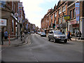
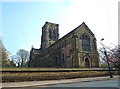
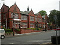
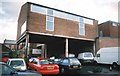
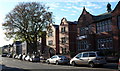
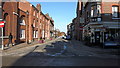
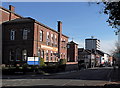

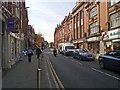
100 photos from this area
Area Information
Key information about the WA14 2BP including its size, population, and administrative classification.
- Area Type
- Postcode
- Area Size
- 2.2 hectares
- Population
- 1675
- Population Density
- 2641 people/km²
House Prices in WA14 2BP
19
Properties
£1,120,786
Average Sold Price
£512,500
Lowest Price
£1,740,000
Highest Price
Showing 19 properties
| Address | Type | Beds | Baths | Last Sale Price | Last Sale Date | |
|---|---|---|---|---|---|---|
| 26A Bentinck Road, Altrincham, WA14 2BP | house | 2 | 2 | £1,450,000 | Dec 2022 | |
| Amaris, 10 Bentinck Road, Altrincham, WA14 2BP | Detached | 6 | 3 | £1,280,000 | Aug 2016 | |
| Bradmer, 6 Bentinck Road, Altrincham, WA14 2BP | Semi-detached | 6 | - | £920,000 | May 2014 | |
| York House, 14 Bentinck Road, Altrincham, WA14 2BP | house | 8 | - | £1,125,000 | Jan 2012 | |
| Ryburn, 18 Bentinck Road, Altrincham, WA14 2BP | house | - | - | £818,000 | Mar 2010 | |
| Moss Wood, 30 Bentinck Road, Altrincham, WA14 2BP | Detached | - | - | £1,740,000 | Jul 2009 | |
| Rosslyn, 4 Bentinck Road, Altrincham, WA14 2BP | Semi-detached | - | - | £512,500 | Sep 2002 | |
| 2, The Mews, 28 Bentinck Road, Altrincham, WA14 2BP | Flat | 4 | 2 | - | - | |
| The Silver Birches, 22 Bentinck Road, Altrincham, WA14 2BP | Flat | 4 | 2 | - | - | |
| White Lee, 12 Bentinck Road, Altrincham, WA14 2BP | Detached | 6 | - | - | - |
Page 1 of 2
Energy Efficiency in WA14 2BP
Amenities
Schools
| Rank | School | Type | Entry gender | Ages |
|---|
Explore more schools in this area
Go to Schools tabDemographics
Household Size
One person
most common
Accommodation Type
Flats
most common
Tenure
76
majority
Ethnic Group
White
most common
Religion
N/A
most common
Household Composition
N/A
most common
Age
47
median
Adults (30-64 years)
most common
Household Deprivation
N/A
with no deprivation
NS-SEC
54
in Lower managerial occupations
Explore more demographic insights in this area
Go to Demographics tabPlanning
Planning Constraints
- Flood RiskPremium
- Ramsar Wetland SitesPremium
- Area of Outstanding Natural BeautyPremium
- Protected Nature ReservePremium
- Protected WoodlandPremium