Area Overview for WA14 1PF
Photos of WA14 1PF
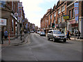
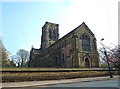
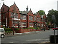
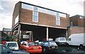
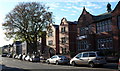
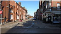
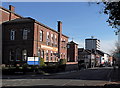

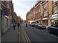
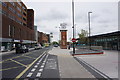
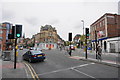
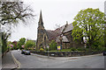
100 photos from this area
Area Information
Key information about the WA14 1PF including its size, population, and administrative classification.
- Area Type
- Postcode
- Area Size
- 1.3 hectares
- Population
- 2146
- Population Density
- 2866 people/km²
House Prices in WA14 1PF
10
Properties
£455,750
Average Sold Price
£411,500
Lowest Price
£500,000
Highest Price
Showing 10 properties
| Address | Type | Beds | Baths | Last Sale Price | Last Sale Date | |
|---|---|---|---|---|---|---|
| Carrick, 58 Market Street, Altrincham, WA14 1PF | Detached | - | - | £500,000 | Sep 2018 | |
| Bilstone, Market Street, Altrincham, WA14 1PF | house | 4 | - | £411,500 | May 2012 | |
| Kroonstad, Market Street, Altrincham, WA14 1PF | Semi-detached | 2 | 1 | - | - | |
| Flat, Altrincham Conservative Club, Market Street, Altrincham, WA14 1PF | Flat | - | - | - | - | |
| Optegra Altrincham Eye Clinic, Myburo, 20 Market Street, Altrincham, WA14 1PF | office_workshop | - | - | - | - | |
| Public Conveniences, Market Street, Altrincham, WA14 1PF | commercial | - | - | - | - | |
| Carrick, 32 Market Street, Altrincham, WA14 1PF | Semi-detached | - | - | - | - | |
| 22-24 Market Street, Altrincham, WA14 1PF | Office | - | - | - | - | |
| Juice Nursery, 20A Market Street, Altrincham, WA14 1PF | community_day_centre | - | - | - | - | |
| 31 Market Street, Altrincham, WA14 1PF | shop | - | - | - | - |
Energy Efficiency in WA14 1PF
Amenities
Schools
| Rank | School | Type | Entry gender | Ages |
|---|
Explore more schools in this area
Go to Schools tabDemographics
Household Size
One person
most common
Accommodation Type
Flats
most common
Tenure
62
majority
Ethnic Group
White
most common
Religion
N/A
most common
Household Composition
N/A
most common
Age
47
median
Adults (30-64 years)
most common
Household Deprivation
N/A
with no deprivation
NS-SEC
57
in Lower managerial occupations
Explore more demographic insights in this area
Go to Demographics tabPlanning
Planning Constraints
- Flood RiskPremium
- Ramsar Wetland SitesPremium
- Area of Outstanding Natural BeautyPremium
- Protected Nature ReservePremium
- Protected WoodlandPremium