Area Overview for WA13 0PZ
Photos of WA13 0PZ
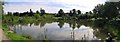
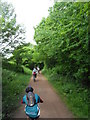
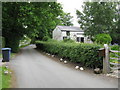
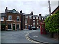
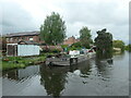
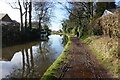
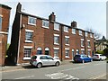
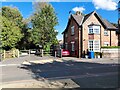
45 photos from this area
Area Information
Key information about the WA13 0PZ including its size, population, and administrative classification.
- Area Type
- Postcode
- Area Size
- 8495 m²
- Population
- 1998
- Population Density
- 1251 people/km²
House Prices in WA13 0PZ
5
Properties
£958,750
Average Sold Price
£930,000
Lowest Price
£987,500
Highest Price
Showing 5 properties
| Address | Type | Beds | Baths | Last Sale Price | Last Sale Date | |
|---|---|---|---|---|---|---|
| 20 Brookfield Road, Lymm, Warrington, WA13 0PZ | Semi-detached | 5 | - | £930,000 | Jul 2014 | |
| 16 Brookfield Road, Lymm, Warrington, WA13 0PZ | Semi-detached | - | - | £987,500 | Sep 2007 | |
| 20A Brookfield Road, Lymm, Warrington, WA13 0PZ | Detached | 2 | 3 | - | - | |
| Flat, Brookfield Residential And Community Care Home, Brookfield Road, Lymm, Warrington, WA13 0PZ | Flat | - | - | - | - | |
| Brookfield Residential And Community Care Home, 18 Brookfield Road, Lymm, Warrington, WA13 0PZ | hospital_care_home | - | - | - | - |
Energy Efficiency in WA13 0PZ
Amenities
Schools
| Rank | School | Type | Entry gender | Ages |
|---|
Explore more schools in this area
Go to Schools tabDemographics
Household Size
Family (3-5 people)
most common
Accommodation Type
Houses
most common
Tenure
80
majority
Ethnic Group
White
most common
Religion
N/A
most common
Household Composition
N/A
most common
Age
47
median
Adults (30-64 years)
most common
Household Deprivation
N/A
with no deprivation
NS-SEC
54
in Lower managerial occupations
Explore more demographic insights in this area
Go to Demographics tabPlanning
Planning Constraints
- Flood RiskPremium
- Ramsar Wetland SitesPremium
- Area of Outstanding Natural BeautyPremium
- Protected Nature ReservePremium
- Protected WoodlandPremium