Area Overview for WA12 9LY
Photos of WA12 9LY
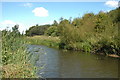

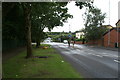

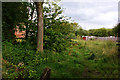
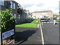
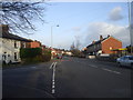
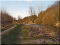
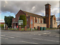

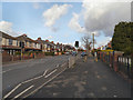

20 photos from this area
Area Information
Key information about the WA12 9LY including its size, population, and administrative classification.
- Area Type
- Postcode
- Area Size
- 1.6 hectares
- Population
- 1714
- Population Density
- 2579 people/km²
House Prices in WA12 9LY
48
Properties
£206,057
Average Sold Price
£122,396
Lowest Price
£330,000
Highest Price
Showing 48 properties
| Address | Type | Beds | Baths | Last Sale Price | Last Sale Date | |
|---|---|---|---|---|---|---|
| 75 Brimstone Drive, Newton Le Willows, WA12 9LY | Detached | 3 | 2 | £315,000 | Aug 2025 | |
| 21 Brimstone Drive, Newton Le Willows, WA12 9LY | Semi-detached | 3 | 1 | £230,000 | May 2025 | |
| 87 Brimstone Drive, Newton Le Willows, WA12 9LY | Terraced | 3 | 1 | £220,000 | Dec 2024 | |
| 67 Brimstone Drive, Newton Le Willows, WA12 9LY | Detached | 4 | 3 | £330,000 | Oct 2024 | |
| 27 Brimstone Drive, Newton Le Willows, WA12 9LY | Semi-detached | 3 | 2 | £272,500 | Sep 2024 | |
| 11 Brimstone Drive, Newton Le Willows, WA12 9LY | Semi-detached | 3 | 1 | £242,000 | Jul 2024 | |
| 73 Brimstone Drive, Newton Le Willows, WA12 9LY | Semi-detached | 3 | 3 | £240,000 | Feb 2024 | |
| 81 Brimstone Drive, Newton Le Willows, WA12 9LY | house | - | - | £176,000 | Oct 2023 | |
| 15 Brimstone Drive, Newton Le Willows, WA12 9LY | Semi-detached | 3 | 1 | £212,000 | Apr 2023 | |
| 91 Brimstone Drive, Newton Le Willows, WA12 9LY | house | - | - | £240,000 | Feb 2023 |
Page 1 of 5
Energy Efficiency in WA12 9LY
Amenities
Schools
| Rank | School | Type | Entry gender | Ages |
|---|
Explore more schools in this area
Go to Schools tabDemographics
Household Size
One person
most common
Accommodation Type
Houses
most common
Tenure
45
majority
Ethnic Group
White
most common
Religion
N/A
most common
Household Composition
N/A
most common
Age
47
median
Adults (30-64 years)
most common
Household Deprivation
N/A
with no deprivation
NS-SEC
22
in Lower managerial occupations
Explore more demographic insights in this area
Go to Demographics tabPlanning
Planning Constraints
- Flood RiskPremium
- Ramsar Wetland SitesPremium
- Area of Outstanding Natural BeautyPremium
- Protected Nature ReservePremium
- Protected WoodlandPremium