Area Overview for WA11 7RQ
Photos of WA11 7RQ
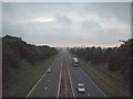
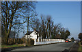
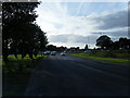
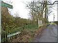
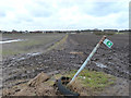
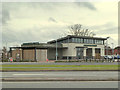
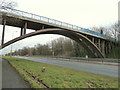
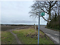
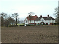
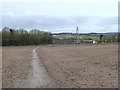
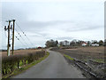
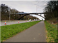
32 photos from this area
Area Information
Key information about the WA11 7RQ including its size, population, and administrative classification.
- Area Type
- Postcode
- Area Size
- 8.7 hectares
- Population
- 1794
- Population Density
- 1399 people/km²
House Prices in WA11 7RQ
6
Properties
£595,000
Average Sold Price
£595,000
Lowest Price
£595,000
Highest Price
Showing 6 properties
| Address | Type | Beds | Baths | Last Sale Price | Last Sale Date | |
|---|---|---|---|---|---|---|
| Beech House, Crank Road, Crank, St Helens, WA11 7RQ | house | 4 | 3 | £595,000 | Aug 2023 | |
| 1-2, Ellisons Cottages, Crank Road, Crank, St Helens, WA11 7RQ | house | 4 | - | - | - | |
| Studio Beauty And Aesthetics, Ellisons Cottages, 3-4 Crank Road, Crank, St Helens, WA11 7RQ | shop | - | - | - | - | |
| 3-4, Ellisons Cottages, Crank Road, Crank, St Helens, WA11 7RQ | Office | - | - | - | - | |
| Strange Cottage, Crank Road, Crank, St Helens, WA11 7RQ | Semi-detached | - | - | - | - | |
| Dagnals Bridge Farmhouse, Crank Road, Crank, St Helens, WA11 7RQ | house | - | - | - | - |
Energy Efficiency in WA11 7RQ
Amenities
Schools
| Rank | School | Type | Entry gender | Ages |
|---|
Explore more schools in this area
Go to Schools tabDemographics
Household Size
Family (3-5 people)
most common
Accommodation Type
Houses
most common
Tenure
44
majority
Ethnic Group
White
most common
Religion
N/A
most common
Household Composition
N/A
most common
Age
47
median
Adults (30-64 years)
most common
Household Deprivation
N/A
with no deprivation
NS-SEC
21
in Lower managerial occupations
Explore more demographic insights in this area
Go to Demographics tabPlanning
Planning Constraints
- Flood RiskPremium
- Ramsar Wetland SitesPremium
- Area of Outstanding Natural BeautyPremium
- Protected Nature ReservePremium
- Protected WoodlandPremium