Area Overview for WA11 0TL
Photos of WA11 0TL
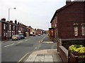
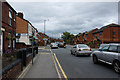
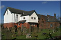

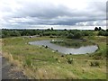
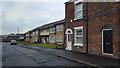
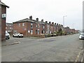
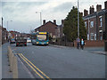
16 photos from this area
Area Information
Key information about the WA11 0TL including its size, population, and administrative classification.
- Area Type
- Postcode
- Area Size
- 4803 m²
- Population
- 1271
- Population Density
- 976 people/km²
House Prices in WA11 0TL
12
Properties
£72,181
Average Sold Price
£34,000
Lowest Price
£125,000
Highest Price
Showing 12 properties
| Address | Type | Beds | Baths | Last Sale Price | Last Sale Date | |
|---|---|---|---|---|---|---|
| 101 Church Road, Haydock, St Helens, WA11 0TL | Terraced | 2 | 2 | £125,000 | Feb 2025 | |
| 99 Church Road, Haydock, St Helens, WA11 0TL | Terraced | 2 | 1 | £66,950 | Feb 2020 | |
| 97 Church Road, Haydock, St Helens, WA11 0TL | house | - | - | £52,000 | Dec 2010 | |
| 113 Church Road, Haydock, St Helens, WA11 0TL | house | 3 | - | £68,000 | Oct 2009 | |
| 103 Church Road, Haydock, St Helens, WA11 0TL | Terraced | - | - | £89,000 | Jun 2007 | |
| 95 Church Road, Haydock, St Helens, WA11 0TL | house | - | - | £60,000 | May 2007 | |
| 91 Church Road, Haydock, St Helens, WA11 0TL | Terraced | 2 | 1 | £82,500 | Feb 2006 | |
| 109 Church Road, Haydock, St Helens, WA11 0TL | house | 2 | - | £34,000 | May 2001 | |
| 93 Church Road, Haydock, St Helens, WA11 0TL | house | - | - | - | - | |
| 111 Church Road, Haydock, St Helens, WA11 0TL | Terraced | - | - | - | - |
Page 1 of 2
Energy Efficiency in WA11 0TL
Amenities
Schools
| Rank | School | Type | Entry gender | Ages |
|---|
Explore more schools in this area
Go to Schools tabDemographics
Household Size
Two person
most common
Accommodation Type
Houses
most common
Tenure
72
majority
Ethnic Group
White
most common
Religion
N/A
most common
Household Composition
N/A
most common
Age
47
median
Adults (30-64 years)
most common
Household Deprivation
N/A
with no deprivation
NS-SEC
24
in Lower managerial occupations
Explore more demographic insights in this area
Go to Demographics tabPlanning
Planning Constraints
- Flood RiskPremium
- Ramsar Wetland SitesPremium
- Area of Outstanding Natural BeautyPremium
- Protected Nature ReservePremium
- Protected WoodlandPremium