Area Overview for WA11 0TA
Photos of WA11 0TA
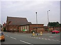
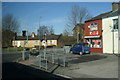
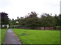
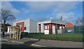
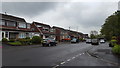
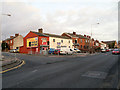
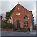
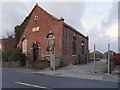
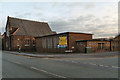
24 photos from this area
Area Information
Key information about the WA11 0TA including its size, population, and administrative classification.
- Area Type
- Postcode
- Area Size
- 6686 m²
- Population
- 1446
- Population Density
- 4526 people/km²
House Prices in WA11 0TA
17
Properties
£126,105
Average Sold Price
£5,000
Lowest Price
£235,000
Highest Price
Showing 17 properties
| Address | Type | Beds | Baths | Last Sale Price | Last Sale Date | |
|---|---|---|---|---|---|---|
| 48 Grange Valley, Haydock, St Helens, WA11 0TA | Detached | 3 | 1 | £5,000 | Dec 2025 | |
| 26 Grange Valley, Haydock, St Helens, WA11 0TA | house | 3 | 1 | £90,000 | Aug 2021 | |
| 17 Grange Valley, Haydock, St Helens, WA11 0TA | Detached | 3 | 1 | £235,000 | Sep 2019 | |
| 42 Grange Valley, Haydock, St Helens, WA11 0TA | house | - | - | £184,995 | May 2019 | |
| 30 Grange Valley, Haydock, St Helens, WA11 0TA | house | - | - | £124,950 | Nov 2018 | |
| 36 Grange Valley, Haydock, St Helens, WA11 0TA | Semi-detached | - | - | £132,000 | Apr 2009 | |
| 15 Grange Valley, Haydock, St Helens, WA11 0TA | Bungalow | - | - | £200,000 | Oct 2006 | |
| 32 Grange Valley, Haydock, St Helens, WA11 0TA | Bungalow | - | - | £117,000 | Aug 2005 | |
| 34 Grange Valley, Haydock, St Helens, WA11 0TA | Terraced | - | - | £46,000 | Jul 1995 | |
| 40 Grange Valley, Haydock, St Helens, WA11 0TA | Semi-detached | 3 | 1 | - | - |
Page 1 of 2
Energy Efficiency in WA11 0TA
Amenities
Schools
| Rank | School | Type | Entry gender | Ages |
|---|
Explore more schools in this area
Go to Schools tabDemographics
Household Size
One person
most common
Accommodation Type
Houses
most common
Tenure
56
majority
Ethnic Group
White
most common
Religion
N/A
most common
Household Composition
N/A
most common
Age
47
median
Adults (30-64 years)
most common
Household Deprivation
N/A
with no deprivation
NS-SEC
24
in Lower managerial occupations
Explore more demographic insights in this area
Go to Demographics tabPlanning
Planning Constraints
- Flood RiskPremium
- Ramsar Wetland SitesPremium
- Area of Outstanding Natural BeautyPremium
- Protected Nature ReservePremium
- Protected WoodlandPremium