Area Overview for WA10 5NG
Photos of WA10 5NG
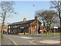
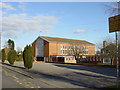
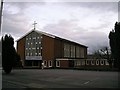
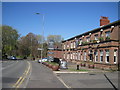
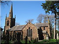
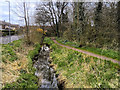
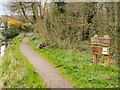

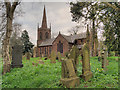
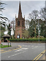
26 photos from this area
Area Information
Key information about the WA10 5NG including its size, population, and administrative classification.
- Area Type
- Postcode
- Area Size
- 8966 m²
- Population
- 1201
- Population Density
- 4149 people/km²
House Prices in WA10 5NG
27
Properties
£86,658
Average Sold Price
£26,976
Lowest Price
£130,000
Highest Price
Showing 27 properties
| Address | Type | Beds | Baths | Last Sale Price | Last Sale Date | |
|---|---|---|---|---|---|---|
| 35 Saleswood Avenue, Eccleston, St Helens, WA10 5NG | Semi-detached | 3 | 1 | £125,000 | Nov 2021 | |
| 47 Saleswood Avenue, Eccleston, St Helens, WA10 5NG | Terraced | 3 | 1 | £130,000 | Jan 2020 | |
| 23 Saleswood Avenue, Eccleston, St Helens, WA10 5NG | Semi-detached | 4 | 1 | £83,000 | Nov 2015 | |
| 39 Saleswood Avenue, Eccleston, St Helens, WA10 5NG | house | - | - | £90,000 | May 2011 | |
| 41 Saleswood Avenue, Eccleston, St Helens, WA10 5NG | house | - | - | £115,000 | Mar 2010 | |
| 1 Saleswood Avenue, Eccleston, St Helens, WA10 5NG | house | - | - | £89,950 | Jun 2004 | |
| 3 Saleswood Avenue, Eccleston, St Helens, WA10 5NG | Terraced | - | - | £72,000 | Jun 2003 | |
| 27 Saleswood Avenue, Eccleston, St Helens, WA10 5NG | Terraced | - | - | £26,976 | May 2003 | |
| 45 Saleswood Avenue, Eccleston, St Helens, WA10 5NG | Terraced | - | - | £48,000 | Apr 2003 | |
| 19 Saleswood Avenue, Eccleston, St Helens, WA10 5NG | Terraced | 3 | 2 | - | - |
Page 1 of 3
Energy Efficiency in WA10 5NG
Amenities
Schools
| Rank | School | Type | Entry gender | Ages |
|---|
Explore more schools in this area
Go to Schools tabDemographics
Household Size
One person
most common
Accommodation Type
Houses
most common
Tenure
55
majority
Ethnic Group
White
most common
Religion
N/A
most common
Household Composition
N/A
most common
Age
47
median
Adults (30-64 years)
most common
Household Deprivation
N/A
with no deprivation
NS-SEC
30
in Lower managerial occupations
Explore more demographic insights in this area
Go to Demographics tabPlanning
Planning Constraints
- Flood RiskPremium
- Ramsar Wetland SitesPremium
- Area of Outstanding Natural BeautyPremium
- Protected Nature ReservePremium
- Protected WoodlandPremium