Area Overview for WA10 1UA
Photos of WA10 1UA
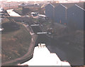
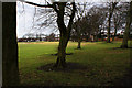
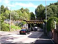
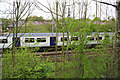
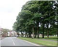
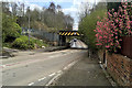
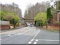
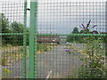
25 photos from this area
Area Information
Key information about the WA10 1UA including its size, population, and administrative classification.
- Area Type
- Postcode
- Area Size
- 6010 m²
- Population
- 1430
- Population Density
- 6749 people/km²
House Prices in WA10 1UA
55
Properties
£62,824
Average Sold Price
£15,500
Lowest Price
£100,000
Highest Price
Showing 55 properties
| Address | Type | Beds | Baths | Last Sale Price | Last Sale Date | |
|---|---|---|---|---|---|---|
| 40 Gleave Street, St Helens, WA10 1UA | Terraced | 2 | 1 | £95,000 | Jul 2025 | |
| 31 Gleave Street, St Helens, WA10 1UA | house | - | - | £73,500 | Dec 2024 | |
| 50 Gleave Street, St Helens, WA10 1UA | Terraced | 2 | 1 | £71,000 | May 2024 | |
| 41 Gleave Street, St Helens, WA10 1UA | Terraced | 2 | 1 | £70,500 | May 2024 | |
| 6 Gleave Street, St Helens, WA10 1UA | house | - | - | £90,000 | Apr 2024 | |
| 9 Gleave Street, St Helens, WA10 1UA | house | - | - | £89,000 | Mar 2024 | |
| 51 Gleave Street, St Helens, WA10 1UA | Terraced | 2 | 1 | £95,000 | Jan 2024 | |
| 52 Gleave Street, St Helens, WA10 1UA | Terraced | 2 | 1 | £95,000 | Dec 2023 | |
| 20 Gleave Street, St Helens, WA10 1UA | Terraced | 2 | 1 | £75,000 | Jan 2023 | |
| 14 Gleave Street, St Helens, WA10 1UA | house | - | - | £84,000 | Nov 2022 |
Page 1 of 6
Energy Efficiency in WA10 1UA
Amenities
Schools
| Rank | School | Type | Entry gender | Ages |
|---|
Explore more schools in this area
Go to Schools tabDemographics
Household Size
One person
most common
Accommodation Type
Houses
most common
Tenure
35
majority
Ethnic Group
White
most common
Religion
N/A
most common
Household Composition
N/A
most common
Age
47
median
Adults (30-64 years)
most common
Household Deprivation
N/A
with no deprivation
NS-SEC
17
in Lower managerial occupations
Explore more demographic insights in this area
Go to Demographics tabPlanning
Planning Constraints
- Flood RiskPremium
- Ramsar Wetland SitesPremium
- Area of Outstanding Natural BeautyPremium
- Protected Nature ReservePremium
- Protected WoodlandPremium