Area Overview for WA1 3QP
Photos of WA1 3QP


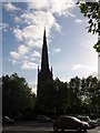
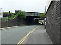
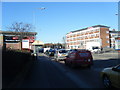

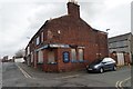
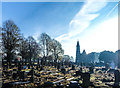

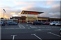

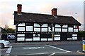
49 photos from this area
Area Information
Key information about the WA1 3QP including its size, population, and administrative classification.
- Area Type
- Postcode
- Area Size
- 9770 m²
- Population
- 2407
- Population Density
- 8740 people/km²
House Prices in WA1 3QP
77
Properties
£85,968
Average Sold Price
£28,950
Lowest Price
£148,000
Highest Price
Showing 77 properties
| Address | Type | Beds | Baths | Last Sale Price | Last Sale Date | |
|---|---|---|---|---|---|---|
| 58 Algernon Street, Fairfield And Howley, Warrington, WA1 3QP | Terraced | 3 | 1 | £148,000 | Apr 2025 | |
| 26 Algernon Street, Fairfield And Howley, Warrington, WA1 3QP | Terraced | 2 | 1 | £137,500 | Mar 2025 | |
| 76 Algernon Street, Fairfield And Howley, Warrington, WA1 3QP | Terraced | 2 | 1 | £143,000 | Jan 2025 | |
| 38 Algernon Street, Fairfield And Howley, Warrington, WA1 3QP | Terraced | 3 | 1 | £124,000 | Nov 2024 | |
| 54 Algernon Street, Fairfield And Howley, Warrington, WA1 3QP | Terraced | 2 | 1 | £108,000 | Sep 2024 | |
| 51 Algernon Street, Fairfield And Howley, Warrington, WA1 3QP | Terraced | 2 | 1 | £126,000 | May 2024 | |
| 27 Algernon Street, Fairfield And Howley, Warrington, WA1 3QP | Terraced | 2 | 1 | £115,000 | Mar 2024 | |
| 10 Algernon Street, Fairfield And Howley, Warrington, WA1 3QP | Terraced | 2 | 1 | £115,500 | Jan 2024 | |
| 65 Algernon Street, Fairfield And Howley, Warrington, WA1 3QP | Terraced | 3 | 1 | £138,000 | Sep 2023 | |
| 67 Algernon Street, Fairfield And Howley, Warrington, WA1 3QP | Terraced | - | - | £43,000 | Jan 2023 |
Page 1 of 8
Energy Efficiency in WA1 3QP
Amenities
Schools
| Rank | School | Type | Entry gender | Ages |
|---|
Explore more schools in this area
Go to Schools tabDemographics
Household Size
One person
most common
Accommodation Type
Houses
most common
Tenure
32
majority
Ethnic Group
White
most common
Religion
N/A
most common
Household Composition
N/A
most common
Age
47
median
Adults (30-64 years)
most common
Household Deprivation
N/A
with no deprivation
NS-SEC
26
in Lower managerial occupations
Explore more demographic insights in this area
Go to Demographics tabPlanning
Planning Constraints
- Flood RiskPremium
- Ramsar Wetland SitesPremium
- Area of Outstanding Natural BeautyPremium
- Protected Nature ReservePremium
- Protected WoodlandPremium