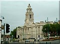
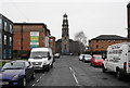
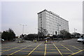
Area Overview for Stockport
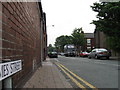
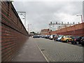
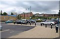
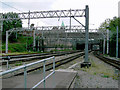
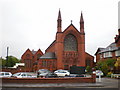
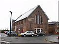
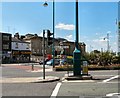
Photos of Stockport


Area Information
Living in Stockport offers a distinct experience within a built-up area covering 23.9 km². You will find yourself amid a community of 45,275 residents, creating a setting that feels established yet manageable. The population density stands at 1,892 people per square kilometre, which defines a typical market town atmosphere rather than the intensity of a major city centre. This specific size and demographic concentration shape your daily rhythm, offering a balance where you have neighbours nearby without constant urban noise. The area functions as a cohesive hub where local life revolves around proximity to specific transport links and amenities. Residents navigate a landscape designed for practical living, moving between homes, workplaces, and local services efficiently. Stockport presents itself as a settled environment where the infrastructure supports a steady pace of life. When you consider homes in Stockport, you are entering a zone defined by clear boundaries and a strong sense of locality. The sheer number of residents ensures that essential services remain within easy reach, fostering a community where daily needs are met without excessive travel. Your experience here will be grounded in the reality of a defined, populated district focused on utility and convenience.
- Area Type
- District/Borough
- Area Size
- 23.9 km²
- Population
- 45275
- Population Density
- 1892 people/km²
Demographics
The demographic profile of Stockport tells a clear story of an established settlement. You are dealing with a median age of 70, a figure that significantly influences the character of the community. This high median age indicates that the area attracts a demographic further down the life cycle. You will find that three-quarters of the total population falls into standard age brackets, suggesting a stable, mature residency pattern. This age structure often correlates with long-term residents who have planted roots in the locality. Home ownership plays a major role in how residents relate to their surroundings. A solid 63% of homes in Stockport are owned outright or with a mortgage, compared to the private rented sector. This high ownership rate suggests stability and a deep investment in the local neighbourhood. Households are composed of families and individuals who prioritise permanence. Accommodation types reflect this mature demographic, favouring establishments suited to older residents or empty nesters. The diversity within the area follows standard UK trends, though specific ethnic or religious breakdowns are not detailed in available records. You should expect a community largely defined by longevity and a strong residential commitment rather than transient living.
Household Size
Accommodation Type
Tenure
Ethnic Group
Religion
Household Composition
Age
Household Deprivation
NS-SEC
Explore more demographic insights in this area
Go to Demographics tabPlanning
Planning Constraints
- Crime RiskPremium