Area Overview for ST7 3RN
Photos of ST7 3RN
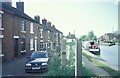
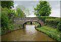
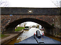
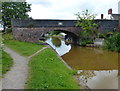
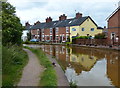
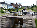
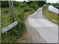
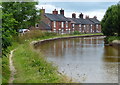
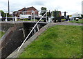
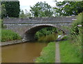
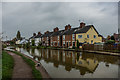
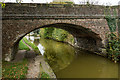
74 photos from this area
Area Information
Key information about the ST7 3RN including its size, population, and administrative classification.
- Area Type
- Postcode
- Area Size
- 6.4 hectares
- Population
- 1494
- Population Density
- 92 people/km²
House Prices in ST7 3RN
55
Properties
£169,596
Average Sold Price
£25,000
Lowest Price
£550,000
Highest Price
Showing 55 properties
| Address | Type | Beds | Baths | Last Sale Price | Last Sale Date | |
|---|---|---|---|---|---|---|
| 64 Sandbach Road, Rode Heath, ST7 3RN | house | 3 | 1 | £271,500 | Jan 2025 | |
| 58 Sandbach Road, Rode Heath, ST7 3RN | Terraced | 2 | 2 | £152,000 | Dec 2024 | |
| 48 Sandbach Road, Rode Heath, ST7 3RN | house | 2 | 1 | £157,000 | Oct 2024 | |
| Winter Cottage, 82 Sandbach Road, Rode Heath, ST7 3RN | Semi-detached | 3 | 1 | £230,000 | Jul 2024 | |
| 118 Sandbach Road, Rode Heath, ST7 3RN | Semi-detached | 3 | 1 | £140,000 | May 2024 | |
| 46 Sandbach Road, Rode Heath, ST7 3RN | Terraced | 2 | 1 | £165,000 | Mar 2024 | |
| 34 Sandbach Road, Rode Heath, ST7 3RN | Cottage | 2 | 1 | £177,500 | Feb 2024 | |
| 52 Sandbach Road, Rode Heath, ST7 3RN | Terraced | 2 | 1 | £155,000 | Dec 2023 | |
| 92 Sandbach Road, Rode Heath, ST7 3RN | Terraced | 2 | 1 | £172,500 | Nov 2023 | |
| 26 Sandbach Road, Rode Heath, ST7 3RN | Detached | - | - | £550,000 | Apr 2023 |
Page 1 of 6
Energy Efficiency in ST7 3RN
Amenities
Schools
| Rank | School | Type | Entry gender | Ages |
|---|
Explore more schools in this area
Go to Schools tabDemographics
Household Size
Two person
most common
Accommodation Type
Houses
most common
Tenure
80
majority
Ethnic Group
White
most common
Religion
N/A
most common
Household Composition
N/A
most common
Age
47
median
Adults (30-64 years)
most common
Household Deprivation
N/A
with no deprivation
NS-SEC
38
in Lower managerial occupations
Explore more demographic insights in this area
Go to Demographics tabPlanning
Planning Constraints
- Flood RiskPremium
- Ramsar Wetland SitesPremium
- Area of Outstanding Natural BeautyPremium
- Protected Nature ReservePremium
- Protected WoodlandPremium