Area Overview for SK9 5JH
Photos of SK9 5JH
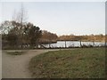
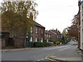
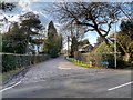
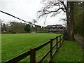
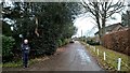
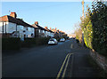
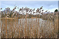
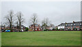
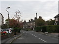
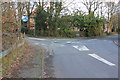
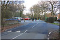
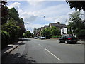
22 photos from this area
Area Information
Key information about the SK9 5JH including its size, population, and administrative classification.
- Area Type
- Postcode
- Area Size
- 1.8 hectares
- Population
- 1522
- Population Density
- 3855 people/km²
House Prices in SK9 5JH
45
Properties
£275,577
Average Sold Price
£60,000
Lowest Price
£710,000
Highest Price
Showing 45 properties
| Address | Type | Beds | Baths | Last Sale Price | Last Sale Date | |
|---|---|---|---|---|---|---|
| 69 Chapel Lane, Wilmslow, SK9 5JH | Terraced | 2 | 1 | £242,000 | Dec 2024 | |
| 96 Chapel Lane, Wilmslow, SK9 5JH | Terraced | 3 | 2 | £425,000 | Jun 2023 | |
| 72 Chapel Lane, Wilmslow, SK9 5JH | Detached | 4 | 3 | £710,000 | Dec 2022 | |
| 47 Chapel Lane, Wilmslow, SK9 5JH | Maisonette | - | - | £629,000 | Sep 2021 | |
| 72A Chapel Lane, Wilmslow, SK9 5JH | house | - | - | £415,000 | Aug 2018 | |
| Jersey House, 79 Chapel Lane, Wilmslow, SK9 5JH | Flat | - | - | £114,000 | Jul 2014 | |
| Farm Cottage, 53 Chapel Lane, Wilmslow, SK9 5JH | house | - | - | £187,500 | Nov 2012 | |
| April House, 98 Chapel Lane, Wilmslow, SK9 5JH | house | 2 | - | £200,000 | Sep 2010 | |
| 77 Chapel Lane, Wilmslow, SK9 5JH | Flat | - | - | £150,000 | Feb 2007 | |
| 2, Chelsea Cottages, Chapel Lane, Wilmslow, SK9 5JH | Terraced | 2 | 1 | £150,000 | Nov 2004 |
Page 1 of 5
Energy Efficiency in SK9 5JH
Amenities
Schools
| Rank | School | Type | Entry gender | Ages |
|---|
Explore more schools in this area
Go to Schools tabDemographics
Household Size
Family (3-5 people)
most common
Accommodation Type
Houses
most common
Tenure
86
majority
Ethnic Group
White
most common
Religion
N/A
most common
Household Composition
N/A
most common
Age
47
median
Adults (30-64 years)
most common
Household Deprivation
N/A
with no deprivation
NS-SEC
53
in Lower managerial occupations
Explore more demographic insights in this area
Go to Demographics tabPlanning
Planning Constraints
- Flood RiskPremium
- Ramsar Wetland SitesPremium
- Area of Outstanding Natural BeautyPremium
- Protected Nature ReservePremium
- Protected WoodlandPremium