Area Overview for SK9 4EA
Photos of SK9 4EA
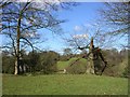
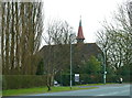
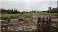
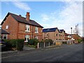
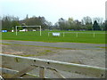
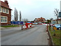
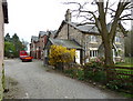
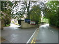
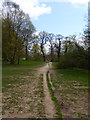
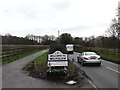
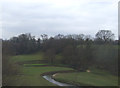
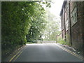
16 photos from this area
Area Information
Key information about the SK9 4EA including its size, population, and administrative classification.
- Area Type
- Postcode
- Area Size
- 9663 m²
- Population
- 1584
- Population Density
- 4510 people/km²
House Prices in SK9 4EA
19
Properties
£179,250
Average Sold Price
£41,500
Lowest Price
£300,000
Highest Price
Showing 19 properties
| Address | Type | Beds | Baths | Last Sale Price | Last Sale Date | |
|---|---|---|---|---|---|---|
| 8 Booth Road, Wilmslow, SK9 4EA | Terraced | 3 | 1 | £225,000 | Jan 2023 | |
| 16 Booth Road, Wilmslow, SK9 4EA | Terraced | 3 | 1 | £300,000 | Dec 2022 | |
| 12 Booth Road, Wilmslow, SK9 4EA | house | - | - | £220,000 | Jan 2022 | |
| 15 Booth Road, Wilmslow, SK9 4EA | Terraced | 2 | 1 | £182,500 | Sep 2019 | |
| 7 Booth Road, Wilmslow, SK9 4EA | house | - | - | £196,000 | Jun 2018 | |
| 2 Booth Road, Wilmslow, SK9 4EA | Terraced | 3 | 1 | £220,000 | Dec 2017 | |
| 18 Booth Road, Wilmslow, SK9 4EA | Terraced | 3 | - | £140,000 | Mar 2014 | |
| 10 Booth Road, Wilmslow, SK9 4EA | house | - | - | £133,000 | May 2013 | |
| 6 Booth Road, Wilmslow, SK9 4EA | Terraced | - | - | £125,000 | Oct 2012 | |
| 1 Booth Road, Wilmslow, SK9 4EA | Terraced | 2 | - | £120,000 | Feb 2006 |
Page 1 of 2
Energy Efficiency in SK9 4EA
Amenities
Schools
| Rank | School | Type | Entry gender | Ages |
|---|
Explore more schools in this area
Go to Schools tabDemographics
Household Size
One person
most common
Accommodation Type
Houses
most common
Tenure
51
majority
Ethnic Group
White
most common
Religion
N/A
most common
Household Composition
N/A
most common
Age
47
median
Adults (30-64 years)
most common
Household Deprivation
N/A
with no deprivation
NS-SEC
34
in Lower managerial occupations
Explore more demographic insights in this area
Go to Demographics tabPlanning
Planning Constraints
- Flood RiskPremium
- Ramsar Wetland SitesPremium
- Area of Outstanding Natural BeautyPremium
- Protected Nature ReservePremium
- Protected WoodlandPremium