Area Overview for SK9 2BG
Photos of SK9 2BG
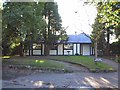
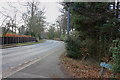
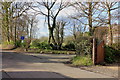
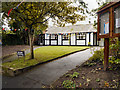
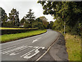
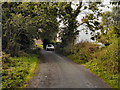
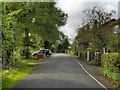
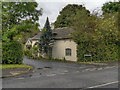
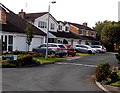
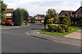
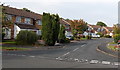
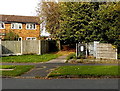
15 photos from this area
Area Information
Key information about the SK9 2BG including its size, population, and administrative classification.
- Area Type
- Postcode
- Area Size
- 2.3 hectares
- Population
- 1948
- Population Density
- 2699 people/km²
House Prices in SK9 2BG
20
Properties
£758,833
Average Sold Price
£135,000
Lowest Price
£1,500,000
Highest Price
Showing 20 properties
| Address | Type | Beds | Baths | Last Sale Price | Last Sale Date | |
|---|---|---|---|---|---|---|
| Four Trees, 15A Overhill Lane, Wilmslow, SK9 2BG | Detached | 4 | 3 | £1,360,000 | May 2025 | |
| 2 Overhill Lane, Wilmslow, SK9 2BG | Detached | 3 | 3 | £885,000 | Feb 2025 | |
| 9 Overhill Lane, Wilmslow, SK9 2BG | house | 4 | 3 | £1,500,000 | Jan 2025 | |
| The Pond House, 4A Overhill Lane, Wilmslow, SK9 2BG | house | - | - | £1,225,000 | Mar 2021 | |
| Redwood, 12 Overhill Lane, Wilmslow, SK9 2BG | house | 5 | - | £805,000 | Jan 2021 | |
| 11 Overhill Lane, Wilmslow, SK9 2BG | Bungalow | 3 | - | £683,000 | Sep 2019 | |
| 4 Overhill Lane, Wilmslow, SK9 2BG | Bungalow | - | - | £1,150,000 | Jun 2019 | |
| 1 Overhill Lane, Wilmslow, SK9 2BG | Bungalow | 6 | - | £600,000 | Jan 2019 | |
| 14 Overhill Lane, Wilmslow, SK9 2BG | house | - | - | £961,000 | Aug 2017 | |
| 13A Overhill Lane, Wilmslow, SK9 2BG | Detached | 4 | - | £810,000 | Mar 2016 |
Page 1 of 2
Energy Efficiency in SK9 2BG
Amenities
Schools
| Rank | School | Type | Entry gender | Ages |
|---|
Explore more schools in this area
Go to Schools tabDemographics
Household Size
Family (3-5 people)
most common
Accommodation Type
Houses
most common
Tenure
88
majority
Ethnic Group
White
most common
Religion
N/A
most common
Household Composition
N/A
most common
Age
47
median
Adults (30-64 years)
most common
Household Deprivation
N/A
with no deprivation
NS-SEC
58
in Lower managerial occupations
Explore more demographic insights in this area
Go to Demographics tabPlanning
Planning Constraints
- Flood RiskPremium
- Ramsar Wetland SitesPremium
- Area of Outstanding Natural BeautyPremium
- Protected Nature ReservePremium
- Protected WoodlandPremium