Area Overview for SK8 6LW
Photos of SK8 6LW

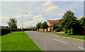
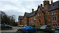
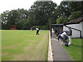
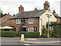
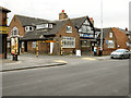
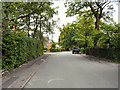
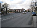
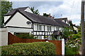
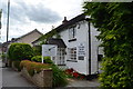
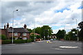
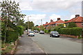
18 photos from this area
Area Information
Key information about the SK8 6LW including its size, population, and administrative classification.
- Area Type
- Postcode
- Area Size
- 1.4 hectares
- Population
- 1569
- Population Density
- 4244 people/km²
House Prices in SK8 6LW
23
Properties
£373,162
Average Sold Price
£115,600
Lowest Price
£760,000
Highest Price
Showing 23 properties
| Address | Type | Beds | Baths | Last Sale Price | Last Sale Date | |
|---|---|---|---|---|---|---|
| 18 Dennison Road, Cheadle Hulme, Cheadle, SK8 6LW | Detached | 4 | 1 | £760,000 | Aug 2025 | |
| 13 Dennison Road, Cheadle Hulme, Cheadle, SK8 6LW | house | - | - | £550,000 | Mar 2025 | |
| 16 Dennison Road, Cheadle Hulme, Cheadle, SK8 6LW | Detached | 4 | 1 | £375,000 | Aug 2020 | |
| 15 Dennison Road, Cheadle Hulme, Cheadle, SK8 6LW | house | - | - | £448,000 | Aug 2016 | |
| 30 Dennison Road, Cheadle Hulme, Cheadle, SK8 6LW | house | - | - | £367,000 | May 2016 | |
| 28 Dennison Road, Cheadle Hulme, Cheadle, SK8 6LW | Detached | 3 | - | £352,500 | Jun 2014 | |
| 2 Dennison Road, Cheadle Hulme, Cheadle, SK8 6LW | house | - | - | £370,000 | Aug 2013 | |
| 9 Dennison Road, Cheadle Hulme, Cheadle, SK8 6LW | house | - | - | £285,000 | Jul 2013 | |
| 12 Dennison Road, Cheadle Hulme, Cheadle, SK8 6LW | house | - | - | £263,000 | Oct 2011 | |
| 4 Dennison Road, Cheadle Hulme, Cheadle, SK8 6LW | house | 4 | 2 | £375,000 | Nov 2010 |
Page 1 of 3
Energy Efficiency in SK8 6LW
Amenities
Schools
| Rank | School | Type | Entry gender | Ages |
|---|
Explore more schools in this area
Go to Schools tabDemographics
Household Size
Family (3-5 people)
most common
Accommodation Type
Houses
most common
Tenure
78
majority
Ethnic Group
White
most common
Religion
N/A
most common
Household Composition
N/A
most common
Age
47
median
Adults (30-64 years)
most common
Household Deprivation
N/A
with no deprivation
NS-SEC
44
in Lower managerial occupations
Explore more demographic insights in this area
Go to Demographics tabPlanning
Planning Constraints
- Flood RiskPremium
- Ramsar Wetland SitesPremium
- Area of Outstanding Natural BeautyPremium
- Protected Nature ReservePremium
- Protected WoodlandPremium