Area Overview for SK8 5JS
Photos of SK8 5JS

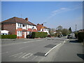
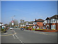
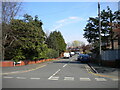
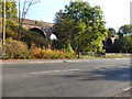

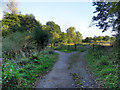
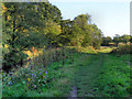
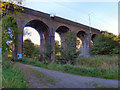
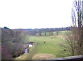
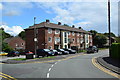

25 photos from this area
Area Information
Key information about the SK8 5JS including its size, population, and administrative classification.
- Area Type
- Postcode
- Area Size
- 2.7 hectares
- Population
- 1550
- Population Density
- 4626 people/km²
House Prices in SK8 5JS
61
Properties
£276,409
Average Sold Price
£60,000
Lowest Price
£660,000
Highest Price
Showing 61 properties
| Address | Type | Beds | Baths | Last Sale Price | Last Sale Date | |
|---|---|---|---|---|---|---|
| 96 Radnormere Drive, Cheadle Hulme, Cheadle, SK8 5JS | Semi-detached | 3 | 1 | £410,000 | Aug 2025 | |
| 47 Radnormere Drive, Cheadle Hulme, Cheadle, SK8 5JS | Semi-detached | 3 | 1 | £435,000 | Mar 2025 | |
| 21 Radnormere Drive, Cheadle Hulme, Cheadle, SK8 5JS | house | 5 | 2 | £660,000 | Aug 2024 | |
| 51 Radnormere Drive, Cheadle Hulme, Cheadle, SK8 5JS | house | - | - | £425,000 | Feb 2024 | |
| 37 Radnormere Drive, Cheadle Hulme, Cheadle, SK8 5JS | house | - | - | £387,000 | Feb 2024 | |
| 65 Radnormere Drive, Cheadle Hulme, Cheadle, SK8 5JS | Retail | 3 | 1 | £380,000 | Jul 2022 | |
| 77 Radnormere Drive, Cheadle Hulme, Cheadle, SK8 5JS | Detached | 3 | 2 | £400,000 | Jan 2022 | |
| 63 Radnormere Drive, Cheadle Hulme, Cheadle, SK8 5JS | house | - | - | £375,000 | Jun 2021 | |
| 25 Radnormere Drive, Cheadle Hulme, Cheadle, SK8 5JS | house | - | - | £500,000 | Mar 2021 | |
| 46 Radnormere Drive, Cheadle Hulme, Cheadle, SK8 5JS | house | - | - | £287,425 | Mar 2021 |
Page 1 of 7
Energy Efficiency in SK8 5JS
Amenities
Schools
| Rank | School | Type | Entry gender | Ages |
|---|
Explore more schools in this area
Go to Schools tabDemographics
Household Size
One person
most common
Accommodation Type
Houses
most common
Tenure
84
majority
Ethnic Group
White
most common
Religion
N/A
most common
Household Composition
N/A
most common
Age
47
median
Adults (30-64 years)
most common
Household Deprivation
N/A
with no deprivation
NS-SEC
45
in Lower managerial occupations
Explore more demographic insights in this area
Go to Demographics tabPlanning
Planning Constraints
- Flood RiskPremium
- Ramsar Wetland SitesPremium
- Area of Outstanding Natural BeautyPremium
- Protected Nature ReservePremium
- Protected WoodlandPremium