Area Overview for SK8 5EU
Photos of SK8 5EU
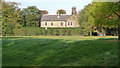
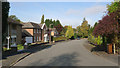
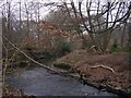
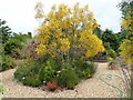
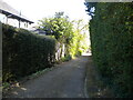
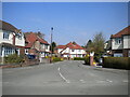
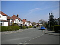
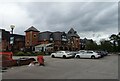
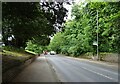
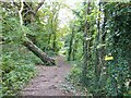
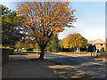
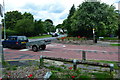
21 photos from this area
Area Information
Key information about the SK8 5EU including its size, population, and administrative classification.
- Area Type
- Postcode
- Area Size
- 1.1 hectares
- Population
- 1494
- Population Density
- 1397 people/km²
House Prices in SK8 5EU
22
Properties
£241,372
Average Sold Price
£14,000
Lowest Price
£620,000
Highest Price
Showing 22 properties
| Address | Type | Beds | Baths | Last Sale Price | Last Sale Date | |
|---|---|---|---|---|---|---|
| 43 Cheadle Road, Cheadle Hulme, Cheadle, SK8 5EU | Bungalow | 2 | 2 | £400,000 | Aug 2024 | |
| 45A Cheadle Road, Cheadle Hulme, Cheadle, SK8 5EU | Detached | 4 | 3 | £14,000 | Aug 2019 | |
| 53 Cheadle Road, Cheadle Hulme, Cheadle, SK8 5EU | Semi-detached | 4 | 2 | £455,000 | Oct 2017 | |
| 53A Cheadle Road, Cheadle Hulme, Cheadle, SK8 5EU | Detached | 6 | - | £620,000 | Feb 2016 | |
| 45 Cheadle Road, Cheadle Hulme, Cheadle, SK8 5EU | Detached | - | - | £450,000 | Aug 2013 | |
| 49 Cheadle Road, Cheadle Hulme, Cheadle, SK8 5EU | Semi-detached | 5 | - | £103,350 | Jan 1997 | |
| 57A Cheadle Road, Cheadle Hulme, Cheadle, SK8 5EU | Terraced | - | - | £15,000 | Oct 1996 | |
| 61A Cheadle Road, Cheadle Hulme, Cheadle, SK8 5EU | Terraced | - | - | £15,000 | Oct 1996 | |
| 47 Cheadle Road, Cheadle Hulme, Cheadle, SK8 5EU | house | 5 | 2 | £100,000 | Jun 1996 | |
| Flat 3, Irwin Court, 45B Cheadle Road, Cheadle Hulme, Cheadle, SK8 5EU | Flat | 1 | 1 | - | - |
Page 1 of 3
Energy Efficiency in SK8 5EU
Amenities
Schools
| Rank | School | Type | Entry gender | Ages |
|---|
Explore more schools in this area
Go to Schools tabDemographics
Household Size
Family (3-5 people)
most common
Accommodation Type
Houses
most common
Tenure
93
majority
Ethnic Group
White
most common
Religion
N/A
most common
Household Composition
N/A
most common
Age
47
median
Adults (30-64 years)
most common
Household Deprivation
N/A
with no deprivation
NS-SEC
50
in Lower managerial occupations
Explore more demographic insights in this area
Go to Demographics tabPlanning
Planning Constraints
- Flood RiskPremium
- Ramsar Wetland SitesPremium
- Area of Outstanding Natural BeautyPremium
- Protected Nature ReservePremium
- Protected WoodlandPremium