Area Overview for SK8 4RZ
Photos of SK8 4RZ
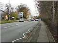
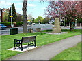
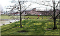
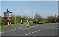
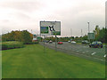
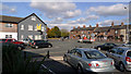


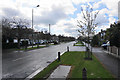
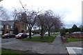
61 photos from this area
Area Information
Key information about the SK8 4RZ including its size, population, and administrative classification.
- Area Type
- Postcode
- Area Size
- 5.4 hectares
- Population
- 1548
- Population Density
- 1862 people/km²
House Prices in SK8 4RZ
21
Properties
£369,000
Average Sold Price
£93,000
Lowest Price
£625,000
Highest Price
Showing 21 properties
| Address | Type | Beds | Baths | Last Sale Price | Last Sale Date | |
|---|---|---|---|---|---|---|
| 63 St Anns Road North, Heald Green, Cheadle, SK8 4RZ | house | - | - | £545,000 | Nov 2023 | |
| 93 St Anns Road North, Heald Green, Cheadle, SK8 4RZ | Detached | - | - | £625,000 | Dec 2022 | |
| 85 St Anns Road North, Heald Green, Cheadle, SK8 4RZ | house | - | - | £542,000 | May 2021 | |
| 148 St Anns Road North, Heald Green, Cheadle, SK8 4RZ | Semi-detached | 4 | 1 | £435,000 | Sep 2020 | |
| 150 St Anns Road North, Heald Green, Cheadle, SK8 4RZ | Semi-detached | 3 | - | £405,000 | Feb 2020 | |
| 75 St Anns Road North, Heald Green, Cheadle, SK8 4RZ | Detached | 5 | 2 | £530,000 | Sep 2017 | |
| 81 St Anns Road North, Heald Green, Cheadle, SK8 4RZ | Detached | - | - | £330,000 | Sep 2005 | |
| 61 St Anns Road North, Heald Green, Cheadle, SK8 4RZ | Detached | - | - | £350,000 | Feb 2004 | |
| 71 St Anns Road North, Heald Green, Cheadle, SK8 4RZ | house | - | - | £100,000 | Dec 1998 | |
| 87 St Anns Road North, Heald Green, Cheadle, SK8 4RZ | Detached | - | - | £93,000 | Aug 1996 |
Page 1 of 3
Energy Efficiency in SK8 4RZ
Amenities
Schools
| Rank | School | Type | Entry gender | Ages |
|---|
Explore more schools in this area
Go to Schools tabDemographics
Household Size
Family (3-5 people)
most common
Accommodation Type
Houses
most common
Tenure
88
majority
Ethnic Group
White
most common
Religion
N/A
most common
Household Composition
N/A
most common
Age
47
median
Adults (30-64 years)
most common
Household Deprivation
N/A
with no deprivation
NS-SEC
38
in Lower managerial occupations
Explore more demographic insights in this area
Go to Demographics tabPlanning
Planning Constraints
- Flood RiskPremium
- Ramsar Wetland SitesPremium
- Area of Outstanding Natural BeautyPremium
- Protected Nature ReservePremium
- Protected WoodlandPremium