Area Overview for SK8 1QN
Photos of SK8 1QN
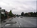
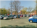
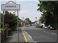
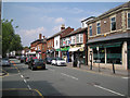
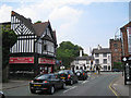
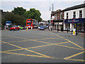
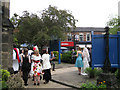
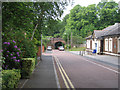
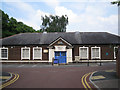
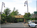
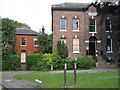
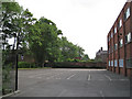
100 photos from this area
Area Information
Key information about the SK8 1QN including its size, population, and administrative classification.
- Area Type
- Postcode
- Area Size
- 6036 m²
- Population
- 2066
- Population Density
- 2457 people/km²
House Prices in SK8 1QN
21
Properties
£253,200
Average Sold Price
£172,000
Lowest Price
£320,000
Highest Price
Showing 21 properties
| Address | Type | Beds | Baths | Last Sale Price | Last Sale Date | |
|---|---|---|---|---|---|---|
| 2 Whitby Close, Cheadle, SK8 1QN | Bungalow | 2 | - | £309,000 | Aug 2018 | |
| 7 Whitby Close, Cheadle, SK8 1QN | Bungalow | 2 | 1 | £320,000 | Sep 2017 | |
| 5 Whitby Close, Cheadle, SK8 1QN | Bungalow | - | - | £275,000 | Nov 2015 | |
| 4 Whitby Close, Cheadle, SK8 1QN | Bungalow | 4 | - | £190,000 | Feb 2014 | |
| 9 Whitby Close, Cheadle, SK8 1QN | Bungalow | - | - | £172,000 | Oct 2013 | |
| 3 Whitby Close, Cheadle, SK8 1QN | Terraced | 3 | 1 | - | - | |
| 1 Whitby Close, Cheadle, SK8 1QN | Terraced | 4 | 1 | - | - | |
| Whitworth House First Floor North Flat, Barnes Hospital, Kingsway, Cheadle, SK8 1QN | Flat | - | - | - | - | |
| Whitworth House First Floor West Flat, Barnes Hospital, Kingsway, Cheadle, SK8 1QN | Flat | - | - | - | - | |
| Whitworth House Ground Floor East Flat, Barnes Hospital, Kingsway, Cheadle, SK8 1QN | Terraced | 4 | 1 | - | - |
Page 1 of 3
Energy Efficiency in SK8 1QN
Amenities
Schools
| Rank | School | Type | Entry gender | Ages |
|---|
Explore more schools in this area
Go to Schools tabDemographics
Household Size
Family (3-5 people)
most common
Accommodation Type
Houses
most common
Tenure
91
majority
Ethnic Group
White
most common
Religion
N/A
most common
Household Composition
N/A
most common
Age
47
median
Adults (30-64 years)
most common
Household Deprivation
N/A
with no deprivation
NS-SEC
52
in Lower managerial occupations
Explore more demographic insights in this area
Go to Demographics tabPlanning
Planning Constraints
- Flood RiskPremium
- Ramsar Wetland SitesPremium
- Area of Outstanding Natural BeautyPremium
- Protected Nature ReservePremium
- Protected WoodlandPremium