Area Overview for SK7 6NG
Photos of SK7 6NG
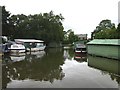
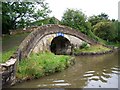
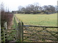
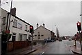

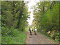

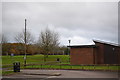
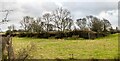

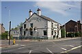
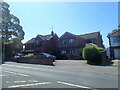
40 photos from this area
Area Information
Key information about the SK7 6NG including its size, population, and administrative classification.
- Area Type
- Postcode
- Area Size
- 7.4 hectares
- Population
- 1581
- Population Density
- 458 people/km²
House Prices in SK7 6NG
11
Properties
£236,438
Average Sold Price
£75,000
Lowest Price
£495,000
Highest Price
Showing 11 properties
| Address | Type | Beds | Baths | Last Sale Price | Last Sale Date | |
|---|---|---|---|---|---|---|
| Ellesmere, 245 Buxton Road, Hazel Grove, Stockport, SK7 6NG | Semi-detached | 4 | 2 | £420,000 | Aug 2023 | |
| Cartref, Buxton Road, Hazel Grove, Stockport, SK7 6NG | house | 3 | 2 | £495,000 | Mar 2022 | |
| Norbury Villa, Buxton Road, Hazel Grove, Stockport, SK7 6NG | house | 3 | - | £232,500 | Dec 2014 | |
| The Gables, Buxton Road, Hazel Grove, Stockport, SK7 6NG | house | - | - | £120,000 | Sep 2012 | |
| Wrenbury, Buxton Road, Hazel Grove, Stockport, SK7 6NG | house | - | - | £75,000 | Jun 2009 | |
| Lymehurst, Buxton Road, Hazel Grove, Stockport, SK7 6NG | house | - | - | £210,000 | May 2006 | |
| Roselaya, Buxton Road, Hazel Grove, Stockport, SK7 6NG | Semi-detached | 4 | 1 | £249,000 | Feb 2003 | |
| Richmond, Buxton Road, Hazel Grove, Stockport, SK7 6NG | Semi-detached | 3 | 1 | £90,000 | Feb 2000 | |
| Crosslea, Buxton Road, Hazel Grove, Stockport, SK7 6NG | Land | 4 | 1 | - | - | |
| Lyndale, 247 Buxton Road, Hazel Grove, Stockport, SK7 6NG | Semi-detached | 3 | 1 | - | - |
Page 1 of 2
Energy Efficiency in SK7 6NG
Amenities
Schools
| Rank | School | Type | Entry gender | Ages |
|---|
Explore more schools in this area
Go to Schools tabDemographics
Household Size
Two person
most common
Accommodation Type
Houses
most common
Tenure
91
majority
Ethnic Group
White
most common
Religion
N/A
most common
Household Composition
N/A
most common
Age
47
median
Adults (30-64 years)
most common
Household Deprivation
N/A
with no deprivation
NS-SEC
39
in Lower managerial occupations
Explore more demographic insights in this area
Go to Demographics tabPlanning
Planning Constraints
- Flood RiskPremium
- Ramsar Wetland SitesPremium
- Area of Outstanding Natural BeautyPremium
- Protected Nature ReservePremium
- Protected WoodlandPremium