Area Overview for SK7 5QY
Photos of SK7 5QY

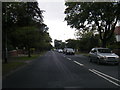
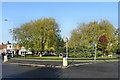
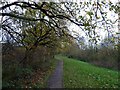
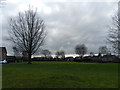
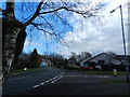
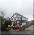
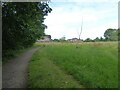
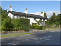
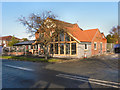
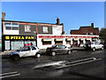
11 photos from this area
Area Information
Key information about the SK7 5QY including its size, population, and administrative classification.
- Area Type
- Postcode
- Area Size
- 1.3 hectares
- Population
- 1365
- Population Density
- 2812 people/km²
House Prices in SK7 5QY
39
Properties
£171,573
Average Sold Price
£58,000
Lowest Price
£340,000
Highest Price
Showing 39 properties
| Address | Type | Beds | Baths | Last Sale Price | Last Sale Date | |
|---|---|---|---|---|---|---|
| 23 Bickerton Drive, Hazel Grove, Stockport, SK7 5QY | Semi-detached | 2 | - | £310,000 | Oct 2025 | |
| 22 Bickerton Drive, Hazel Grove, Stockport, SK7 5QY | Semi-detached | 3 | 1 | £340,000 | Jul 2025 | |
| 15 Bickerton Drive, Hazel Grove, Stockport, SK7 5QY | Semi-detached | 2 | 1 | £285,000 | Mar 2025 | |
| 14 Bickerton Drive, Hazel Grove, Stockport, SK7 5QY | house | - | - | £267,500 | Jan 2022 | |
| 32 Bickerton Drive, Hazel Grove, Stockport, SK7 5QY | Semi-detached | 3 | 1 | £220,000 | Sep 2020 | |
| 41 Bickerton Drive, Hazel Grove, Stockport, SK7 5QY | house | - | - | £215,000 | Oct 2018 | |
| 24 Bickerton Drive, Hazel Grove, Stockport, SK7 5QY | house | - | - | £237,000 | Jun 2018 | |
| 36 Bickerton Drive, Hazel Grove, Stockport, SK7 5QY | Semi-detached | 3 | 2 | £220,000 | Sep 2017 | |
| 21 Bickerton Drive, Hazel Grove, Stockport, SK7 5QY | house | - | - | £197,500 | Mar 2016 | |
| 16 Bickerton Drive, Hazel Grove, Stockport, SK7 5QY | house | - | - | £210,000 | Dec 2015 |
Page 1 of 4
Energy Efficiency in SK7 5QY
Amenities
Schools
| Rank | School | Type | Entry gender | Ages |
|---|
Explore more schools in this area
Go to Schools tabDemographics
Household Size
Two person
most common
Accommodation Type
Houses
most common
Tenure
85
majority
Ethnic Group
White
most common
Religion
N/A
most common
Household Composition
N/A
most common
Age
47
median
Adults (30-64 years)
most common
Household Deprivation
N/A
with no deprivation
NS-SEC
46
in Lower managerial occupations
Explore more demographic insights in this area
Go to Demographics tabPlanning
Planning Constraints
- Flood RiskPremium
- Ramsar Wetland SitesPremium
- Area of Outstanding Natural BeautyPremium
- Protected Nature ReservePremium
- Protected WoodlandPremium