Area Overview for SK7 4EJ
Photos of SK7 4EJ
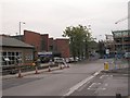
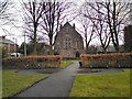
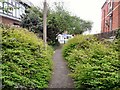
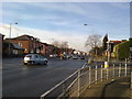
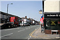
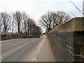
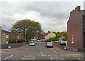
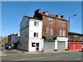
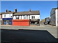
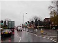
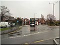
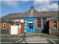
58 photos from this area
Area Information
Key information about the SK7 4EJ including its size, population, and administrative classification.
- Area Type
- Postcode
- Area Size
- 3924 m²
- Population
- 1780
- Population Density
- 5057 people/km²
House Prices in SK7 4EJ
21
Properties
£103,344
Average Sold Price
£47,000
Lowest Price
£160,000
Highest Price
Showing 21 properties
| Address | Type | Beds | Baths | Last Sale Price | Last Sale Date | |
|---|---|---|---|---|---|---|
| 16 Oak Street, Hazel Grove, Stockport, SK7 4EJ | Flat | - | - | £160,000 | Aug 2024 | |
| 22 Oak Street, Hazel Grove, Stockport, SK7 4EJ | house | - | - | £130,000 | Dec 2018 | |
| 18A Oak Street, Hazel Grove, Stockport, SK7 4EJ | Flat | - | - | £102,500 | May 2016 | |
| 16A Oak Street, Hazel Grove, Stockport, SK7 4EJ | Flat | - | - | £108,000 | Nov 2014 | |
| 6 Oak Street, Hazel Grove, Stockport, SK7 4EJ | house | 2 | - | £100,000 | Feb 2012 | |
| 20 Oak Street, Hazel Grove, Stockport, SK7 4EJ | Terraced | 2 | 1 | £88,400 | Sep 2009 | |
| 4 Oak Street, Hazel Grove, Stockport, SK7 4EJ | Terraced | 2 | 1 | £119,250 | Apr 2006 | |
| 24 Oak Street, Hazel Grove, Stockport, SK7 4EJ | Terraced | 2 | 1 | £74,950 | Jun 2003 | |
| 18 Oak Street, Hazel Grove, Stockport, SK7 4EJ | Flat | - | - | £47,000 | Mar 1998 | |
| 8 Oak Street, Hazel Grove, Stockport, SK7 4EJ | Terraced | 2 | 1 | - | - |
Page 1 of 3
Energy Efficiency in SK7 4EJ
Amenities
Schools
| Rank | School | Type | Entry gender | Ages |
|---|
Explore more schools in this area
Go to Schools tabDemographics
Household Size
One person
most common
Accommodation Type
Houses
most common
Tenure
63
majority
Ethnic Group
White
most common
Religion
N/A
most common
Household Composition
N/A
most common
Age
47
median
Adults (30-64 years)
most common
Household Deprivation
N/A
with no deprivation
NS-SEC
39
in Lower managerial occupations
Explore more demographic insights in this area
Go to Demographics tabPlanning
Planning Constraints
- Flood RiskPremium
- Ramsar Wetland SitesPremium
- Area of Outstanding Natural BeautyPremium
- Protected Nature ReservePremium
- Protected WoodlandPremium