Area Overview for SK7 3BU
Photos of SK7 3BU
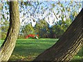
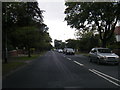
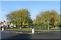
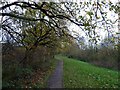
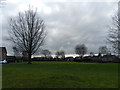
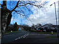
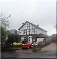
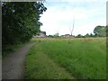
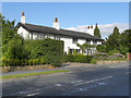
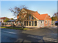
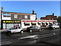
11 photos from this area
Area Information
Key information about the SK7 3BU including its size, population, and administrative classification.
- Area Type
- Postcode
- Area Size
- 4.0 hectares
- Population
- 1206
- Population Density
- 1844 people/km²
House Prices in SK7 3BU
33
Properties
£619,804
Average Sold Price
£230,000
Lowest Price
£1,625,000
Highest Price
Showing 33 properties
| Address | Type | Beds | Baths | Last Sale Price | Last Sale Date | |
|---|---|---|---|---|---|---|
| 53 Broadway, Bramhall, Stockport, SK7 3BU | house | - | - | £835,000 | Aug 2023 | |
| 58 Broadway, Bramhall, Stockport, SK7 3BU | Retail | 6 | 6 | £1,625,000 | Apr 2022 | |
| 46 Broadway, Bramhall, Stockport, SK7 3BU | house | - | - | £787,500 | Mar 2021 | |
| 39 Broadway, Bramhall, Stockport, SK7 3BU | Detached | 6 | 3 | £1,310,000 | Feb 2021 | |
| 35A Broadway, Bramhall, Stockport, SK7 3BU | Detached | 4 | 3 | £975,000 | Oct 2020 | |
| 45 Broadway, Bramhall, Stockport, SK7 3BU | Bungalow | - | - | £550,000 | Jul 2018 | |
| 65 Broadway, Bramhall, Stockport, SK7 3BU | house | 5 | - | £945,000 | Apr 2017 | |
| High Winds, 57 Broadway, Bramhall, Stockport, SK7 3BU | Detached | 5 | 4 | £690,000 | Mar 2017 | |
| 43 Broadway, Bramhall, Stockport, SK7 3BU | Detached | 5 | 4 | £500,000 | Oct 2014 | |
| 51 Broadway, Bramhall, Stockport, SK7 3BU | Bungalow | 3 | 1 | £400,000 | Mar 2014 |
Page 1 of 4
Energy Efficiency in SK7 3BU
Amenities
Schools
| Rank | School | Type | Entry gender | Ages |
|---|
Explore more schools in this area
Go to Schools tabDemographics
Household Size
Two person
most common
Accommodation Type
Houses
most common
Tenure
95
majority
Ethnic Group
White
most common
Religion
N/A
most common
Household Composition
N/A
most common
Age
47
median
Adults (30-64 years)
most common
Household Deprivation
N/A
with no deprivation
NS-SEC
57
in Lower managerial occupations
Explore more demographic insights in this area
Go to Demographics tabPlanning
Planning Constraints
- Flood RiskPremium
- Ramsar Wetland SitesPremium
- Area of Outstanding Natural BeautyPremium
- Protected Nature ReservePremium
- Protected WoodlandPremium