Area Overview for SK7 2JF
Photos of SK7 2JF
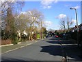
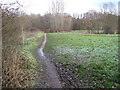
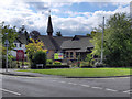
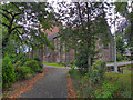
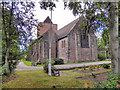
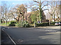
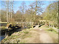
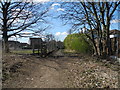
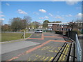
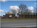
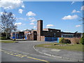
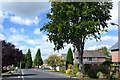
18 photos from this area
Area Information
Key information about the SK7 2JF including its size, population, and administrative classification.
- Area Type
- Postcode
- Area Size
- 1.2 hectares
- Population
- 1560
- Population Density
- 2562 people/km²
House Prices in SK7 2JF
12
Properties
£295,046
Average Sold Price
£35,012
Lowest Price
£515,000
Highest Price
Showing 12 properties
| Address | Type | Beds | Baths | Last Sale Price | Last Sale Date | |
|---|---|---|---|---|---|---|
| 69 Fir Road, Bramhall, Stockport, SK7 2JF | Bungalow | 2 | 1 | £357,500 | Jun 2024 | |
| 70 Fir Road, Bramhall, Stockport, SK7 2JF | Bungalow | 3 | 2 | £515,000 | Nov 2023 | |
| 77 Fir Road, Bramhall, Stockport, SK7 2JF | Bungalow | 2 | 1 | £355,000 | Feb 2021 | |
| 75 Fir Road, Bramhall, Stockport, SK7 2JF | Bungalow | 2 | 1 | £359,000 | Jan 2021 | |
| 73 Fir Road, Bramhall, Stockport, SK7 2JF | Bungalow | - | - | £335,000 | Dec 2015 | |
| 79 Fir Road, Bramhall, Stockport, SK7 2JF | Bungalow | 3 | 1 | £35,012 | Dec 2015 | |
| 71 Fir Road, Bramhall, Stockport, SK7 2JF | Bungalow | 2 | - | £285,000 | Sep 2011 | |
| 72 Fir Road, Bramhall, Stockport, SK7 2JF | house | - | - | £365,000 | Apr 2009 | |
| 65 Fir Road, Bramhall, Stockport, SK7 2JF | Detached | - | - | £249,950 | Feb 2004 | |
| 67 Fir Road, Bramhall, Stockport, SK7 2JF | Bungalow | 3 | - | £94,000 | Aug 1998 |
Page 1 of 2
Energy Efficiency in SK7 2JF
Amenities
Schools
| Rank | School | Type | Entry gender | Ages |
|---|
Explore more schools in this area
Go to Schools tabDemographics
Household Size
One person
most common
Accommodation Type
Houses
most common
Tenure
78
majority
Ethnic Group
White
most common
Religion
N/A
most common
Household Composition
N/A
most common
Age
47
median
Adults (30-64 years)
most common
Household Deprivation
N/A
with no deprivation
NS-SEC
48
in Lower managerial occupations
Explore more demographic insights in this area
Go to Demographics tabPlanning
Planning Constraints
- Flood RiskPremium
- Ramsar Wetland SitesPremium
- Area of Outstanding Natural BeautyPremium
- Protected Nature ReservePremium
- Protected WoodlandPremium