Area Overview for SK7 2EU
Photos of SK7 2EU
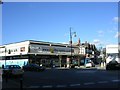
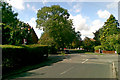
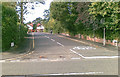
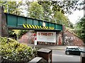
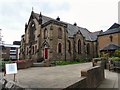
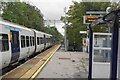
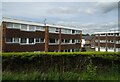
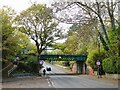
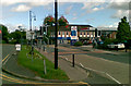
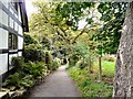
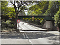
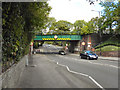
44 photos from this area
Area Information
Key information about the SK7 2EU including its size, population, and administrative classification.
- Area Type
- Postcode
- Area Size
- 2005 m²
- Population
- 1560
- Population Density
- 2562 people/km²
House Prices in SK7 2EU
9
Properties
£155,431
Average Sold Price
£101,500
Lowest Price
£212,000
Highest Price
Showing 9 properties
| Address | Type | Beds | Baths | Last Sale Price | Last Sale Date | |
|---|---|---|---|---|---|---|
| 9, Bramwood Court, Rossall Drive, Bramhall, Stockport, SK7 2EU | Flat | - | - | £178,000 | May 2023 | |
| 3, Bramwood Court, Rossall Drive, Bramhall, Stockport, SK7 2EU | Flat | 2 | 1 | £212,000 | Nov 2022 | |
| 6, Bramwood Court, Rossall Drive, Bramhall, Stockport, SK7 2EU | Flat | - | - | £185,000 | Jan 2020 | |
| 2, Bramwood Court, Rossall Drive, Bramhall, Stockport, SK7 2EU | Flat | - | - | £130,000 | Dec 2013 | |
| 1, Bramwood Court, Rossall Drive, Bramhall, Stockport, SK7 2EU | Flat | 2 | 1 | £136,000 | May 2013 | |
| 8, Bramwood Court, Rossall Drive, Bramhall, Stockport, SK7 2EU | Flat | 2 | 1 | £171,000 | Dec 2007 | |
| 4, Bramwood Court, Rossall Drive, Bramhall, Stockport, SK7 2EU | Flat | - | - | £129,950 | Jun 2003 | |
| 7, Bramwood Court, Rossall Drive, Bramhall, Stockport, SK7 2EU | Flat | - | - | £101,500 | Sep 2002 | |
| 5, Bramwood Court, Rossall Drive, Bramhall, Stockport, SK7 2EU | Flat | - | - | - | - |
Energy Efficiency in SK7 2EU
Amenities
Schools
| Rank | School | Type | Entry gender | Ages |
|---|
Explore more schools in this area
Go to Schools tabDemographics
Household Size
One person
most common
Accommodation Type
Houses
most common
Tenure
78
majority
Ethnic Group
White
most common
Religion
N/A
most common
Household Composition
N/A
most common
Age
47
median
Adults (30-64 years)
most common
Household Deprivation
N/A
with no deprivation
NS-SEC
48
in Lower managerial occupations
Explore more demographic insights in this area
Go to Demographics tabPlanning
Planning Constraints
- Flood RiskPremium
- Ramsar Wetland SitesPremium
- Area of Outstanding Natural BeautyPremium
- Protected Nature ReservePremium
- Protected WoodlandPremium