Area Overview for SK7 2DS
Photos of SK7 2DS
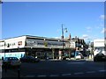
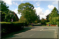
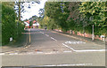
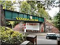
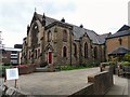
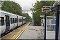
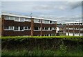
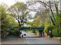
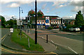
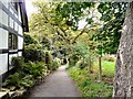
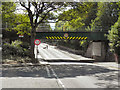
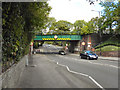
44 photos from this area
Area Information
Key information about the SK7 2DS including its size, population, and administrative classification.
- Area Type
- Postcode
- Area Size
- 6591 m²
- Population
- 1435
- Population Density
- 2500 people/km²
House Prices in SK7 2DS
19
Properties
£189,348
Average Sold Price
£90,250
Lowest Price
£475,000
Highest Price
Showing 19 properties
| Address | Type | Beds | Baths | Last Sale Price | Last Sale Date | |
|---|---|---|---|---|---|---|
| 18 Darwin Grove, Bramhall, Stockport, SK7 2DS | Flat | - | - | £175,000 | May 2023 | |
| 13 Darwin Grove, Bramhall, Stockport, SK7 2DS | Flat | - | - | £163,000 | Aug 2022 | |
| 12 Darwin Grove, Bramhall, Stockport, SK7 2DS | Flat | 1 | 1 | £140,000 | Jun 2019 | |
| 16 Darwin Grove, Bramhall, Stockport, SK7 2DS | Flat | - | - | £140,000 | Jan 2019 | |
| 4 Darwin Grove, Bramhall, Stockport, SK7 2DS | Detached | 4 | - | £475,000 | Apr 2017 | |
| 8 Darwin Grove, Bramhall, Stockport, SK7 2DS | Detached | 4 | 2 | £270,000 | May 2015 | |
| 3 Darwin Grove, Bramhall, Stockport, SK7 2DS | house | - | - | £380,000 | Jul 2010 | |
| 17 Darwin Grove, Bramhall, Stockport, SK7 2DS | Flat | - | - | £105,000 | Mar 2010 | |
| 2 Darwin Grove, Bramhall, Stockport, SK7 2DS | house | - | - | £205,000 | Sep 2009 | |
| 15 Darwin Grove, Bramhall, Stockport, SK7 2DS | Flat | - | - | £126,820 | Mar 2008 |
Page 1 of 2
Energy Efficiency in SK7 2DS
Amenities
Schools
| Rank | School | Type | Entry gender | Ages |
|---|
Explore more schools in this area
Go to Schools tabDemographics
Household Size
Family (3-5 people)
most common
Accommodation Type
Houses
most common
Tenure
82
majority
Ethnic Group
White
most common
Religion
N/A
most common
Household Composition
N/A
most common
Age
47
median
Adults (30-64 years)
most common
Household Deprivation
N/A
with no deprivation
NS-SEC
49
in Lower managerial occupations
Explore more demographic insights in this area
Go to Demographics tabPlanning
Planning Constraints
- Flood RiskPremium
- Ramsar Wetland SitesPremium
- Area of Outstanding Natural BeautyPremium
- Protected Nature ReservePremium
- Protected WoodlandPremium