Area Overview for SK6 8JQ
Photos of SK6 8JQ
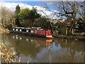
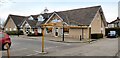
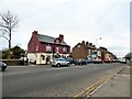
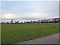
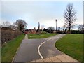
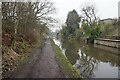
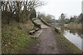
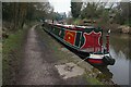
62 photos from this area
Area Information
Key information about the SK6 8JQ including its size, population, and administrative classification.
- Area Type
- Postcode
- Area Size
- 2.5 hectares
- Population
- 1348
- Population Density
- 1531 people/km²
House Prices in SK6 8JQ
30
Properties
£158,114
Average Sold Price
£38,000
Lowest Price
£400,000
Highest Price
Showing 30 properties
| Address | Type | Beds | Baths | Last Sale Price | Last Sale Date | |
|---|---|---|---|---|---|---|
| 32 Fairacres Road, High Lane, Stockport, SK6 8JQ | Flat | - | - | £179,950 | Feb 2025 | |
| 30 Fairacres Road, High Lane, Stockport, SK6 8JQ | Flat | 2 | 1 | £177,950 | Jan 2025 | |
| 3 Fairacres Road, High Lane, Stockport, SK6 8JQ | Semi-detached | 3 | 1 | £310,000 | Oct 2024 | |
| 23 Fairacres Road, High Lane, Stockport, SK6 8JQ | Bungalow | - | - | £400,000 | Oct 2022 | |
| 40 Fairacres Road, High Lane, Stockport, SK6 8JQ | Flat | - | - | £74,000 | Mar 2021 | |
| 26 Fairacres Road, High Lane, Stockport, SK6 8JQ | Flat | - | - | £64,000 | Mar 2021 | |
| 44 Fairacres Road, High Lane, Stockport, SK6 8JQ | Flat | - | - | £98,000 | Aug 2020 | |
| 1 Fairacres Road, High Lane, Stockport, SK6 8JQ | Semi-detached | 3 | 1 | £242,000 | Jan 2020 | |
| 42 Fairacres Road, High Lane, Stockport, SK6 8JQ | Flat | - | - | £77,500 | Oct 2019 | |
| 24 Fairacres Road, High Lane, Stockport, SK6 8JQ | Flat | - | - | £80,000 | Aug 2019 |
Page 1 of 3
Energy Efficiency in SK6 8JQ
Amenities
Schools
| Rank | School | Type | Entry gender | Ages |
|---|
Explore more schools in this area
Go to Schools tabDemographics
Household Size
Two person
most common
Accommodation Type
Houses
most common
Tenure
90
majority
Ethnic Group
White
most common
Religion
N/A
most common
Household Composition
N/A
most common
Age
47
median
Adults (30-64 years)
most common
Household Deprivation
N/A
with no deprivation
NS-SEC
42
in Lower managerial occupations
Explore more demographic insights in this area
Go to Demographics tabPlanning
Planning Constraints
- Flood RiskPremium
- Ramsar Wetland SitesPremium
- Area of Outstanding Natural BeautyPremium
- Protected Nature ReservePremium
- Protected WoodlandPremium