Area Overview for SK6 7BX
Photos of SK6 7BX
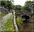
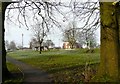
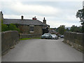
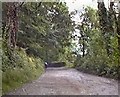
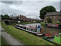
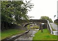
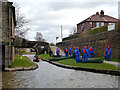
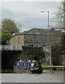
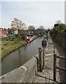
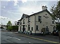
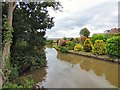
100 photos from this area
Area Information
Key information about the SK6 7BX including its size, population, and administrative classification.
- Area Type
- Postcode
- Area Size
- 2.0 hectares
- Population
- 1491
- Population Density
- 3286 people/km²
House Prices in SK6 7BX
14
Properties
£386,250
Average Sold Price
£285,000
Lowest Price
£592,500
Highest Price
Showing 14 properties
| Address | Type | Beds | Baths | Last Sale Price | Last Sale Date | |
|---|---|---|---|---|---|---|
| 22 Oldknow Road, Marple, Stockport, SK6 7BX | house | - | - | £592,500 | Apr 2021 | |
| 28 Oldknow Road, Marple, Stockport, SK6 7BX | Detached | 4 | 1 | £410,000 | May 2017 | |
| 18 Oldknow Road, Marple, Stockport, SK6 7BX | Semi-detached | 3 | 1 | £300,000 | Mar 2014 | |
| 20 Oldknow Road, Marple, Stockport, SK6 7BX | house | - | - | £355,000 | Dec 2011 | |
| 22A Oldknow Road, Marple, Stockport, SK6 7BX | house | - | - | £375,000 | Nov 2009 | |
| 30 Oldknow Road, Marple, Stockport, SK6 7BX | house | - | - | £285,000 | Oct 2009 | |
| 24 Oldknow Road, Marple, Stockport, SK6 7BX | Semi-detached | 3 | 1 | - | - | |
| Public Conveniences, Marple Recreation Ground, Oldknow Road, Marple, Stockport, SK6 7BX | commercial | - | - | - | - | |
| Annexe, 20 Oldknow Road, Marple, Stockport, SK6 7BX | Detached | - | - | - | - | |
| 12 Oldknow Road, Marple, Stockport, SK6 7BX | Bungalow | - | - | - | - |
Page 1 of 2
Energy Efficiency in SK6 7BX
Amenities
Schools
| Rank | School | Type | Entry gender | Ages |
|---|
Explore more schools in this area
Go to Schools tabDemographics
Household Size
One person
most common
Accommodation Type
Houses
most common
Tenure
77
majority
Ethnic Group
White
most common
Religion
N/A
most common
Household Composition
N/A
most common
Age
47
median
Adults (30-64 years)
most common
Household Deprivation
N/A
with no deprivation
NS-SEC
45
in Lower managerial occupations
Explore more demographic insights in this area
Go to Demographics tabPlanning
Planning Constraints
- Flood RiskPremium
- Ramsar Wetland SitesPremium
- Area of Outstanding Natural BeautyPremium
- Protected Nature ReservePremium
- Protected WoodlandPremium